Every plant and animal species has habitat preferences and requirements. Understanding where these habitats are and what they're composed of is critical to understanding populations, particularly for endangered/threatened species and sensitive plant communities. Bald eagles, for example, search for a particular type of tree canopy that can provide a suitable platform for their large nests as well as ready access to their prey (most commonly fish). Thus, they're often seen nesting in the tops of tall, craggy pines along waterways.
Some of our habitat maps are available for download at the link below. Download Available Maps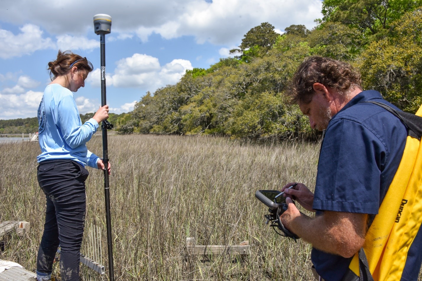
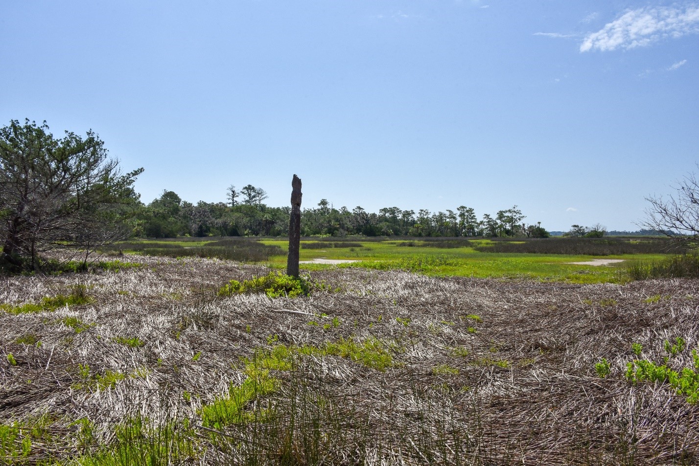
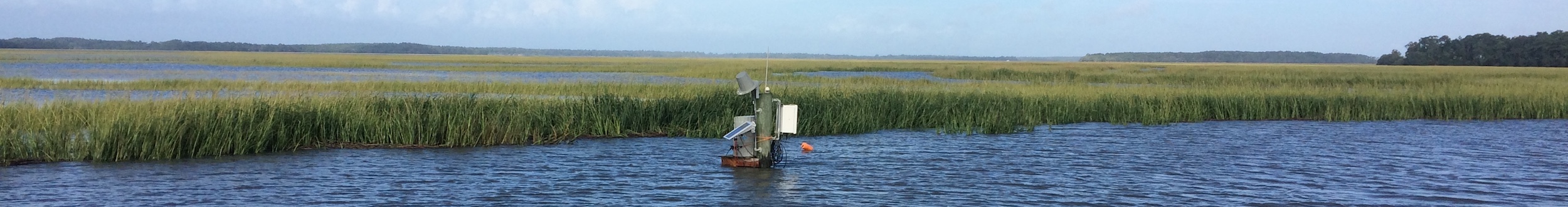
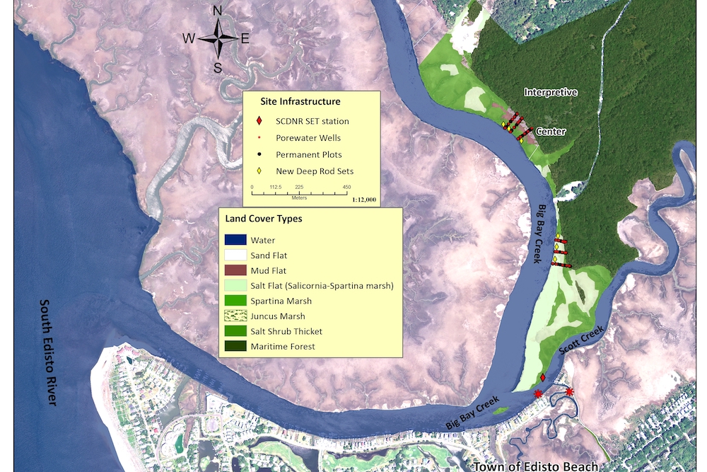
Wetlands and Water Levels
To assess marsh health and environmental change over time in the ACE Basin Reserve, we monitor:
- water level
- marsh vegetation for the types of plants, health and amount of wetland vegetation
- Surface Elevation Tables (SETs) to measure if the sediment surface is getting higher or lower
Pathways to Resilience
With five other Reserves, the ACE Basin staff is working with local community partners to visualize and identify marsh movement space for protection of salt marshes now and into the future.
See our StoryMap to learn about salt marsh migration in the ACE Basin.