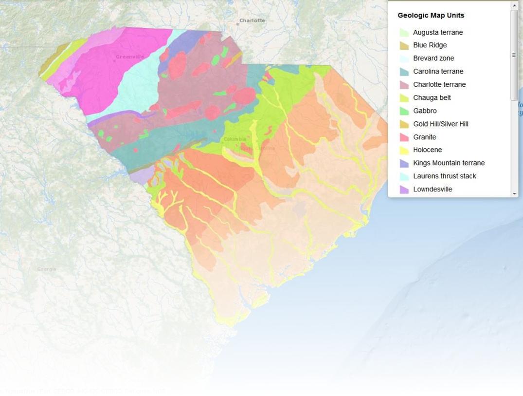
General Information
The South Carolina Geological Survey develops, publishes, and distributes information on South Carolina's geology. Publications include Geologic Quadrangle Maps, Open File Reports, Mineral Resource Assessments, Bulletins, and Field Trip Guidebooks. Hard copies and digital downloads of these publications are available. Users are encouraged to read the User Agreement.
In addition to the titles listed, many publications pertaining to South Carolina geology are available for inspection at our office. This library includes journal articles, theses, dissertations and state and federal publications. Publication office hours are M-F 8:30 am to 4:30 pm.
Another resource for geologic maps can found at the U.S. Geological Survey National Geologic Map Database. Maps produced by the South Carolina Geological Survey, as well as other organizations and individuals, are contained in this database. Map searches can be customized by location, author, publisher, scale, or map type.
Publications with a map preview, are print-on-request and require time to prepare. Please call ahead!
Quick Links
Ordering Information
The price of each publication can be found at the end of the description.
You must pay 8% SC sales tax on the sub-total of publications ordered. If you are tax exempt, you must include your EIN # on the order form. Cash (accepted in person only), checks, and money orders are all acceptable methods of payment. Checks are payable to the S.C. Geological Survey and should accompany the Order Form. Card payment is not being accepted at this time.
Shipping and Handling Charges
If your SUBTOTAL is
- Less than $3.00, add $1.00
- $ 3.01 - $10.00, add $4.00
- $10.01 - $20.00, add $6.00
- $20.01 - $30.00, add $7.00
- $30.01 - $40.00, add $8.00
- $40.01 - $50.00, add $9.00
- $50.01 - $100.00, add $12.00
- $100.01 - $200.00, add $15.00
- Please call for orders over $200.00
Please complete this order form.
Mail orders and inquiries to:
SC Geological Survey
5 Geology Road
Columbia, SC 29212
Phone: (803) 896-7931
E-Mail: scgs@dnr.sc.gov
Publications Table
Use the drop-down below to browse publications by type, or search for a keyword by using the search bar.
| Type | Product | Preview | Title and Description | Year | Size (inches) | Price (USD) |
|---|---|---|---|---|---|---|
| Geologic Quadrangle Map (GQM) | GQM-57 | 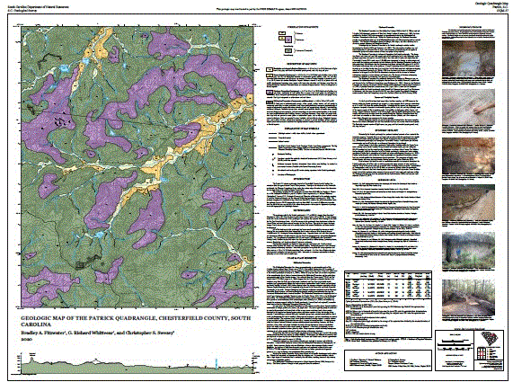 |
Geologic Map of the Patrick Quadrangle, Chesterfield County, South Carolina (2020) by Bradley A. Fitzwater, and G. Richard Whittecar, and Christopher S. Swezey | 2020 | 42x32 | 18.00 |
| Geologic Quadrangle Map (GQM) | GQM-56 |  |
Geologic Map of the Middendorf Quadrangle, Chesterfield County, South Carolina (2021) by Christopher S. Swezey, Bradley A. Fitzwater, and Richard Whittecar, 2 Panel | 2021 | 30x32.5 | 18.00 |
| General Geologic Map Series (GGMS) | GGMS-1 |  |
Generalized Geologic Map of South Carolina, Revised (2005) 1:1,000,000 Scale. Compilation by Various Authors | 2005 | 16x24 | 3.00 |
| General Geologic Map Series (GGMS) | GGMS-2 |  |
Earthquake Hazards Map of the South Carolina Coastal Plain (1996) 1:500,000 Scale, Compiled by Paul Nystrom, Jr. Poster layout revised (2006) | 1996 | 28x40 | 5.00 |
| General Geologic Map Series (GGMS) | GGMS-3 | .jpg) |
Mineral Resource Map of South Carolina (1997) 1:500,000 Scale, by Arthur H. Maybin, III | 1997 | 30x38 | 5.00 |
| General Geologic Map Series (GGMS) | GGMS-4 |  |
Structural Features Map of South Carolina (1998) 1:500,000 Scale, Compilation by Various Authors | 1998 | 32x38 | 5.00 |
| General Geologic Map Series (GGMS) | GGMS-5 |  |
Geologic Hazards of the South Carolina Coastal Plain (2012) 1:600,000 Scale, Compilation by Various Authors. We have a page dedicated to this publication and the data used to compile the information. | 2012 | 25x40 | 5.00 |
| General Geologic Map Series (GGMS) | GGMS-6 |  |
Simple Bouguer Gravity Map of the South Carolina Coastal Plain (2000) 1:500,000 Scale, by Sriram Madabhushi and Pradeep Talwani | 2000 | 28x36 | 5.00 |
| General Geologic Chart (GGC) | GGC-1 | 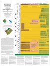 | Cenozoic Stratigraphic Column of the Coastal Plain of South Carolina (1999) Compiled by Ralph H. Willoughby, Paul G. Nystrom, Jr., Lyle D. Campbell and Michael P. Katuna, assisted by Robert E. Weems and Albert E. Sanders | 1999 | 40x30 | 10.00 |
| Minerals and Rocks (MRX) | MRX-1 | 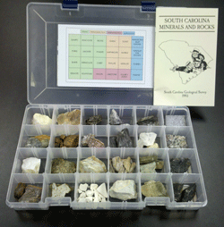 | A earth science study kit containing 24 South Carolina minerals and rocks with a 22-page booklet. A special handling charge is $5.00 for mailing the kit. (Offered to teachers at a discount.) | 10x13 | 25.00 | |
| Minerals and Rocks (MRX) | MRX-2 | 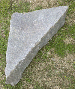 | Winnsboro Blue Granite for a Carolina Fence Garden. | At least 1ft | Please Call | |
| Geologic Quadrangle Map (GQM) | GQM-1 |  | Geologic map of the Pritchardville 7.5-minute quadrangle, Beaufort and Jasper Counties, South Carolina (2002) by W. R. Doar, III | 2002 | 39x36 | 18.00 |
| Geologic Quadrangle Map (GQM) | GQM-2 |  | Geologic map of the Hilton Head 7.5-minute quadrangle, Beaufort County, South Carolina (2002) by W. R. Doar, III | 2002 | 28x31 | 18.00 |
| Geologic Quadrangle Map (GQM) | GQM-3 |  | Geologic map of the Savannah 7.5-minute quadrangle, Jasper County, South Carolina, and Chatham County, Georgia (2002) by W. R. Doar, III | 2002 | 28x28 | 18.00 |
| Geologic Quadrangle Map (GQM) | GQM-4 |  | Geologic map of the Tybee Island North 7.5-minute quadrangle, Beaufort County, South Carolina, and Chatham County, Georgia (2002) by W. R. Doar, III | 2002 | 28x28 | 18.00 |
| Geologic Quadrangle Map (GQM) | GQM-5 |  | Geologic map of the Fort Pulaski 7.5-minute quadrangle, Beaufort and Jasper Counties, South Carolina, and Chatham County, Georgia (2002) by W. R. Doar, III | 2002 | 28x31 | 18.00 |
| Geologic Quadrangle Map (GQM) | GQM-6 |  | Geologic map of the Summerton 7.5-minute quadrangle, Clarendon County, South Carolina (2002) by Ralph H. Willoughby (this map supersedes Open-File 116) | 2002 | 33x36 | 18.00 |
| Geologic Quadrangle Map (GQM) | GQM-7 |  | Geologic map of the Pinewood 7.5-minute quadrangle, Clarendon and Sumter Counties, South Carolina (2002) by Ralph H. Willoughby (this map supersedes Open-File 101) | 2002 | 33x36 | 18.00 |
| Geologic Quadrangle Map (GQM) | GQM-8 |  | Geologic map of the Saint Paul 7.5-minute quadrangle, Calhoun, Clarendon and Orangeburg Counties, South Carolina (2002) by Ralph H. Willoughby (this map supersedes Open-File 100) | 2002 | 33x36 | 18.00 |
| Geologic Quadrangle Map (GQM) | GQM-9 |  | Geologic map of the Table Rock 7.5-minute quadrangle, Greenville and Pickens Counties, South Carolina and Transylvania County, North Carolina (2003) by John M. Garihan and William A. Ranson (this map supersedes Open-File 141) | 2003 | 36x33 | 18.00 |
| Geologic Quadrangle Map (GQM) | GQM-10 |  | Geologic map of the Fort Motte 7.5-minute quadrangle, Calhoun, Richland, and Sumter Counties, South Carolina (2003) by Ralph H. Willoughby (this map supersedes Open-File 103) | 2003 | 36x33 | 18.00 |
| Geologic Quadrangle Map (GQM) | GQM-11 |  | Geologic Map of the Hickory Tavern 7.5-minute quadrangle, Greenville and Laurens Counties, South Carolina (2003) by John M. Garihan (this map supersedes Open-File 122) | 2003 | 28x36 | 18.00 |
| Geologic Quadrangle Map (GQM) | GQM-12 | 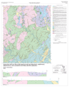 | Geologic Map of the Ware Shoals East 7.5-minute quadrangle, Abbeville, Greenville, and Laurens Counties, South Carolina (2003) by Clark A. Niewendorp (this map supersedes Open-File 76) | 2003 | 28x35 | 18.00 |
| Geologic Quadrangle Map (GQM) | GQM-13 | 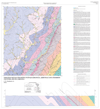 | Geologic Map of the Honea Path 7.5-minute quadrangle, Abbeville and Anderson Counties, South Carolina (2003) by C. W. Clendenin, Jr. | 2003 | 33x36 | 18.00 |
| Geologic Quadrangle Map (GQM) | GQM-14 | 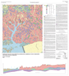 | Geologic Map of the Jordan 7.5-minute quadrangle, Berkeley and Clarendon Counties, South Carolina (2003) by Ralph H. Willoughby | 2003 | 33x36 | 18.00 |
| Geologic Quadrangle Map (GQM) | GQM-15 | 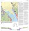 | Geologic Map of the Lone Star 7.5-minute quadrangle, Calhoun, Clarendon, Richland, and Sumter Counties, South Carolina (2003) by Ralph H. Willoughby (this map supersedes Open-File 102) | 2003 | 33x36 | 18.00 |
| Geologic Quadrangle Map (GQM) | GQM-16 | 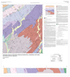 | Geologic Map of the Kings Creek 7.5-minute quadrangle, Cherokee and York Counties, South Carolina (2004) by C. S. Howard | 2004 | 33x36 | 18.00 |
| Geologic Quadrangle Map (GQM) | GQM-17 | 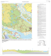 | Geologic Map of the Dale 7.5-minute quadrangle, Beaufort and Colleton Counties, South Carolina (2003) by W. R. Doar, III | 2003 | 33x36 | 18.00 |
| Geologic Quadrangle Map (GQM) | GQM-18 | 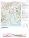 | Geologic Map of the Wiggins 7.5-minute quadrangle, Beaufort and Colleton Counties, South Carolina (2003) by W. R. Doar, III | 2003 | 28x36 | 18.00 |
| Geologic Quadrangle Map (GQM) | GQM-19 | 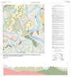 | Geologic Map of the Bennetts Point 7.5-minute quadrangle, Charleston and Colleton Counties, South Carolina (2003) by W. R. Doar, III | 2003 | 33x36 | 18.00 |
| Geologic Quadrangle Map (GQM) | GQM-20 | 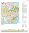 | Geologic Map of the Edisto Island 7.5-minute quadrangle, Charleston and Colleton Counties, South Carolina (2003) by W. R. Doar, III | 2003 | 31x36 | 18.00 |
| Geologic Quadrangle Map (GQM) | GQM-21 |  | Geologic Map of the Edisto Beach 7.5-minute quadrangle, Charleston and Colleton Counties, South Carolina (2003) by W. R. Doar, III | 2003 | 28x28 | 18.00 |
| Geologic Quadrangle Map (GQM) | GQM-22 | 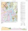 | Geologic Map of the Beaufort 7.5-minute quadrangle, Beaufort County, South Carolina (2003) by W. R. Doar, III | 2003 | 33x36 | 18.00 |
| Geologic Quadrangle Map (GQM) | GQM-23 | 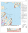 | Geologic Map of the St. Helena Sound 7.5-minute quadrangle, Beaufort and Colleton Counties, South Carolina (2003) by W. R. Doar, III | 2003 | 28x33 | 18.00 |
| Geologic Quadrangle Map (GQM) | GQM-24 | 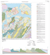 | Geologic Map of the Frogmore 7.5-minute quadrangle, Beaufort County, South Carolina (2003) by W. R. Doar, III | 2003 | 33x36 | 18.00 |
| Geologic Quadrangle Map (GQM) | GQM-25 | 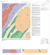 | Geologic Map of the Filbert 7.5-minute quadrangle, York County, South Carolina (2003) by Paul G. Nystrom, Jr. | 2003 | 33x36 | 18.00 |
| Geologic Quadrangle Map (GQM) | GQM-26 | 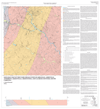 | Geologic Map of the Ware Shoals West 7.5-minute quadrangle, Abbeville, Anderson, Greenville, Greenwood, and Laurens Counties, South Carolina (2003) by C. Scott Howard | 2003 | 33x36 | 18.00 |
| Geologic Quadrangle Map (GQM) | GQM-27 | 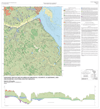 | Geologic Map of the Elloree 7.5-minute quadrangle, Calhoun, Clarendon, and Orangeburg Counties, South Carolina (2003) by Ralph H. Willoughby (this map supersedes Open-File 117) | 2003 | 33x36 | 18.00 |
| Geologic Quadrangle Map (GQM) | GQM-28 |  | Geologic Map of the Sunset 7.5-minute quadrangle, Pickens County, South Carolina (2005) by John M. Garihan | 2005 | 36x36 | 18.00 |
| Geologic Quadrangle Map (GQM) | GQM-29 |  | Geologic Map of the Eastatoe Gap 7.5-minute quadrangle, Greenville and Pickens Counties, South Carolina and Transylvania County, North Carolina (2005) by John M. Garihan with contributions by W. A. Ranson and C. W. Clendenin, Jr. | 2005 | 36x32 | 18.00 |
| Geologic Quadrangle Map (GQM) | GQM-30 |  | Geologic Map of the Eastover 7.5-minute quadrangle, Richland and Sumter Counties, South Carolina (2005) by David C. Shelley | 2005 | 39x36 | 18.00 |
| Geologic Quadrangle Map (GQM) | GQM-31 |  | Geologic Map of the Congaree 7.5-minte quadrangle, Richland County, South Carolina (2005) by David C. Shelley | 2005 | 39x36 | 18.00 |
| Geologic Quadrangle Map (GQM) | GQM-32 |  | Geologic Map of the Longtown and Ridgeway 7.5-minute quadrangles, Fairfield, Kershaw, and Richland Counties, South Carolina (2005) by Chris A. Barker and Donald T. Secor, Jr. | 2005 | 53x36 | 24.00 |
| Geologic Quadrangle Map (GQM) | GQM-33 |  | Geologic Map of the Cleveland 7.5-minute quadrangle, Greenville and Pickens Counties, South Carolina (2005) by John M. Garihan | 2005 | 36x36 | 18.00 |
| Geologic Quadrangle Map (GQM) | GQM-34 |  | Geologic Map of the Slater 7.5-minute quadrangle, Greenville County, South Carolina (2005) by John M. Garihan and James L. Kalbas with contributions by C. W. Clendenin, Jr. | 2005 | 36x39 | 18.00 |
| Geologic Quadrangle Map (GQM) | GQM-35 |  | Geologic Map of the Standingstone Mountain 7.5-minute quadrangle, Greenville County, South Carolina and Transylvania and Henderson Counties, North Carolina (2007) by John M. Garihan and William A. Ranson | 2007 | 42x32 | 18.00 |
| Geologic Quadrangle Map (GQM) | GQM-36 |  | Geologic Map of the Wateree 7.5-minute quadrangle, Calhoun, Richland, and Sumter Counties, South Carolina (2007) by David C. Shelley | 2007 | 39x36 | 18.00 |
| Geologic Quadrangle Map (GQM) | GQM-37 |  | Geologic Map of the Gadsden 7.5-minute quadrangle, Calhoun and Richland Counties, South Carolina (2007) by David C. Shelley | 2007 | 39x36 | 18.00 |
| Geologic Quadrangle Map (GQM) | GQM-38 |  | Geologic Map of the Saylors Lake 7.5-minute quadrangle, Calhoun, Lexington, and Richland Counties, South Carolina (2007) by David C. Shelley | 2007 | 40x36 | 18.00 |
| Geologic Quadrangle Map (GQM) | GQM-39 |  | Geologic Map of the Zirconia 7.5-minute quadrangle, Greenville County, South Carolina, and Henderson County, North Carolina (2008) by John M. Garihan and William A. Ranson | 2008 | 42x33 | 18.00 |
| Geologic Quadrangle Map (GQM) | GQM-40 |  | Geologic Map of the Salem 7.5-minute quadrangle, Oconee and Pickens Counties, South Carolina (2008) by C. W. Clendenin, Jr. and J. M. Garihan | 2008 | 38x36 | 18.00 |
| Geologic Quadrangle Map (GQM) | GQM-41 |  | Geologic Map of the Pickens 7.5-minute quadrangle, Pickens County, South Carolina (2008) by John M. Garihan with contributions by William A. Ransom and C. W. Clendenin, Jr. | 2008 | 42x33 | 18.00 |
| Geologic Quadrangle Map (GQM) | GQM-42 |  | Geologic Map of the Dacusville 7.5-minute quadrangle, Greenville and Pickens Counties, South Carolina (2008) by John S. Allen, Jonathan R. Buffaloe, James R. Lockery, John M. Garihan, and William A. Ranson | 2008 | 28x37 | 18.00 |
| Geologic Quadrangle Map (GQM) | GQM-43 |  | Geologic Map of the North Augusta 7.5-minute quadrangle, Aiken and Edgefield Counties, South Carolina (2008) by Ralph H. Willoughby and C. Scott Howard | 2008 | 33x36 | 18.00 |
| Geologic Quadrangle Map (GQM) | GQM-44 |  | Geologic Map of the Landrum 7.5-minute quadrangle, Greenville and Spartanburg Counties, South Carolina and Polk County, North Carolina (2009) by John M. Garihan | 2009 | 42x36 | 18.00 |
| Geologic Quadrangle Map (GQM) | GQM-45 |  | Geologic Map of the Tigerville 7.5-minute quadrangle, Greenville County, South Carolina (2009) by John M. Garihan, C. W. Clendenin, Jr., and W. R. Doar, III | 2009 | 47x36 | 18.00 |
| Geologic Quadrangle Map (GQM) | GQM-46 |  | Geologic Map of the Poinsett State Park 7.5-minute quadrangle, Richland and Sumter Counties, South Carolina (2009) by Kimberly M. Meitzen, C. S. Howard, and Paul G. Nystrom, Jr. | 2009 | 44x36 | 18.00 |
| Geologic Quadrangle Map (GQM) | GQM-47 |  | Geologic Map of the Wedgefield 7.5-minute quadrangle, Richland and Sumter Counties, South Carolina (2010) by Paul G. Nystrom, Jr. | 2010 | 33x36 | 18.00 |
| Geologic Quadrangle Map (GQM) | GQM-48 |  | Geologic Map of the Saluda 7.5-minute quadrangle, Greenville County, South Carolina (2010) by John M. Garihan, C. W. Clendenin, Jr., and William A. Ranson | 2010 | 42x36 | 18.00 |
| Geologic Quadrangle Map (GQM) | GQM-49 |  | Geologic Map of the Steedman 7.5-minute quadrangle, Aiken and Lexigton Counties, South Carolina (2010) by William R. Doar, III and C. Scott Howard | 2010 | 40x32 | 18.00 |
| Geologic Quadrangle Map (GQM) | GQM-50 |  | Geologic Map of the Southwest Columbia 7.5-minute quadrangle, Calhoun, Lexington and Richland Counties, South Carolina (2010) by Kimberly M. Meitzen | 2010 | 38x41 | 18.00 |
| Geologic Quadrangle Map (GQM) | GQM-51 |  | Geologic Map of the Campobello 7.5-minute quadrangle, Greenville and Spartanburg Counties, South Carolina (2011) by John M. Garihan, Alyssa K. Wickard, Rhonda Chan Soo, William A. Ranson | 2011 | 42x34 | 18.00 |
| Geologic Quadrangle Map (GQM) | GQM-52 |  | Geologic Map of the Fort Jackson South 7.5-minute quadrangle, Calhoun and Richland Counties, South Carolina (2011) by Kimberly M. Meitzen | 2011 | 40x34 | 18.00 |
| Geologic Quadrangle Map (GQM) | GQM-53 |  | Geologic Map of the Georgetown South 7.5-minute quadrangle, Georgetown County, South Carolina (2012) by W. R. Doar, III | 2012 | 38x34 | 18.00 |
| Geologic Quadrangle Map (GQM) | GQM-54 |  | Geologic Map of the Winnsboro Mills 7.5-minute quadrangle, Fairfield County, South Carolina (2016) by D.T. Secor Jr., C.A. Barker and C. Scott Howard | 2016 | 34x42 | 18.00 |
| Geologic Quadrangle Map (GQM) | GQM-55 |  | Geologic Map of the Aiken 7.5-minute quadrangle, Aiken County, South Carolina (2006) by Paul G. Nystrom, Jr. | 2006 | 32x34 | 18.00 |
| Map Series (MS) | MS-1 |  |
Geology of the Irmo quadrangle, South Carolina by S.D. Heron, Jr. and H.S. Johnson, Jr. (1958) (1:24,000 Scale) | 1958 | 33x28 | 18.00 |
| Map Series (MS) | MS-3 |  | Geology of the Fort Jackson North quadrangle, South Carolina by W.K. Pooser and H.S. Johnson, Jr. (1961) (1:24,000 Scale) | 1961 | 33x30 | 18.00 |
| Map Series (MS) | MS-4 | Contours drawn on top of the Cooper marl in the Ladson quadrangle, South Carolina by D.J. Colquhoun (1961) (1:24,000) | 1961 | 2.50 | ||
| Map Series (MS) | MS-9 | Geology of the Clemson quadrangle, South Carolina by C.Q. Brown and C.J. Cazeau (1964) (1:24,000) | 1964 | 2.50 | ||
| Map Series (MS) | MS-10 | Geology of the La France quadrangle, South Carolina by C.J. Cazeau (1966) (1:24,000) | 1966 | 2.50 | ||
| Map Series (MS) | MS-11 | Geology of the Blaney* quadrangle, South Carolina by D.C. Ridgeway, J.F. McCauley and D.J. Colquhoun (1966) (1:24,000). *The Blaney quadrangle has been renamed the Elgin quadrangle | 1966 | 2.50 | ||
| Map Series (MS) | MS-12 | Geology of the Eutawville quadrangle, South Carolina by D.J. Colquhoun and D.A. Duncan (1966) | 1966 | 2.50 | ||
| Map Series (MS) | MS-13 | Geology of the Blythewood quadrangle, South Carolina by W. Paradeses, J.F. McCauley and D.J. Colquhoun (1966) (1:24,000) | 1966 | 2.50 | ||
| Map Series (MS) | MS-14 | Geology of the Six Mile quadrangle, South Carolina by V.S. Griffin, Jr. (1966-67) (1:24,000) | 1967 | 2.50 | ||
| Map Series (MS) | MS-15 | Geomorphology of the South Carolina Lower Coastal Plain (map and text) by D.J. Colquhoun (1969) (1:500,000) | 1969 | 2.50 | ||
| Map Series (MS) | MS-16 | Geology of the Tamassee, Satolah and Cashiers quadrangles, Oconee County, South Carolina (map and text) by P.J. Roper and D.E. Dunn (1970) (1:24,000) | 1970 | 7.50 | ||
| Map Series (MS) | MS-17 | Geology of the southern two-thirds of the Winnsboro 15-minute quadrangle, South Carolina (map and text) by H.D. Wagener (1970) (1:62,500) | 1970 | 2.50 | ||
| Map Series (MS) | MS-18 | Geology of the Old Pickens quadrangle, South Carolina (map and text) by V.S. Griffin, Jr. (1973) (1:24,000) | 1973 | 2.50 | ||
| Map Series (MS) | MS-19 | Geology of the Walhalla quadrangle, Oconee County, South Carolina (map and text) by V.S. Griffin, Jr. (1974) (1:24,000) | 1974 | 2.50 | ||
| Map Series (MS) | MS-20 | Geology of the Seneca, Westminster and portions of the Avalon and Oakway quadrangles, South Carolina (maps and text) by V.S. Griffin, Jr. (1975) (1:24,000) | 1975 | 10.00 | ||
| Map Series (MS) | MS-21 | Simple Bouguer anomaly map of South Carolina (map and text) by P. Talwani, L.T. Long and S.R. Bridges (1975) (1:500,000) | 1975 | 6.00 | ||
| Map Series (MS) | MS-22 | Geology of the Irmo quadrangle, Richland and Lexington Counties, South Carolina (map and text) by J.D. Tewhey (1977) (1:24,000) | 1977 | 3.00 | ||
| Map Series (MS) | MS-23 | Geology of the Calhoun Creek, Calhoun Falls and portions of the Chennault and Verdery quadrangles, South Carolina (maps and text) by V.S. Griffin, Jr. (1977) (1:24,000) | 1977 | 10.00 | ||
| Map Series (MS) | MS-24 | Geology of the Abbeville East, Abbeville West, Latimer and Lowndesville quadrangles, South Carolina (maps and text) by V.S. Griffin, Jr. | 10.00 | |||
| Map Series (MS) | MS-25 | Geology of the Anderson South, Hartwell NE, La France and Saylors Crossroads (7.5-minute) quadrangles and the Anderson (15-minute) quadrangle, South Carolina (maps and text) by V.S. Griffin, Jr. (1981) (1:24,000 & 1:62,500) | 1981 | 7.50 | ||
| Map Series (MS) | MS-26 | Geology of the Salem quadrangle, South Carolina (map and text) by R.D. Hatcher, Jr. and L.D. Acker (1984) (1:24,000) | 1984 | 4.50 | ||
| Map Series (MS) | MS-27 | Geologic and Geomorhpic Elements of the Lower Congaree River Floodplain, Central South Carolina (2007) by David C. Shelley and Aurthur D. Cohen, (2 plates) Delivery on Compact Disc (CD) or File Transfer (FTP). Please specify your delivery method | 2007 | 10.00 | ||
| Map Series (MS) | MS-28 |  | Geologic Map of the Salem and Reid quadrangles, Oconee and Pickens Counties, South Carolina. (2007) (1:24,000) by C. W. Clendenin, Jr. and J. M. Garihan | 2007 | 44x42 | 18.00 |
| Map Series (MS) | MS-29 |  | Geologic Map of the Richtex and Irmo Northeast quadrangles, Richland and Fairfield Counties, South Carolina. (2016) (1:24,000) by D.T. Secor Jr. and C. Scott Howard | 2016 | 44x42 | 18.00 |
| Open-File Report (OFR) | OFR-1 | Geologic reconnaissance map of a portion of Edgefield County (1"" = 1 mile) | 22x22 | 8.00 | ||
| Open-File Report (OFR) | OFR-2 | Geologic reconnaissance map of a portion of McCormick County (1"" = 2 miles) | 22x24 | 8.00 | ||
| Open-File Report (OFR) | OFR-3 |  | Geologic Map of Owdoms quadrangle, Edgefield, Greenwood, and Saluda Counties, South Carolina (1968) by T. S. Brown | 1968 | 28x34 | 15.00 |
| Open-File Report (OFR) | OFR-4 |  | Geology of the Mount Pisgah quadrangle, Lancaster, Kershaw and Chesterfield Counties, South Carolina (1972) by D. Howell and J. R. Butler | 1972 | 28x28 | 15.00 |
| Open-File Report (OFR) | OFR-5 |  | Geologic Map of the Taxahaw quadrangle, Lancaster County, South Carolina (1978) by J. R. Butler and D. Howell | 1978 | 28x28 | 15.00 |
| Open-File Report (OFR) | OFR-6 | Geologic reconnaissance overlay maps of Pacolet Mills and Wilkinsville quadrangles (Cherokee County) (1:24,000) and explanation. Also Included are overlays delineating fracture traces as related to linear topographic features (by H. D. Wagner and V. Price) - Topographic maps are sold seperatly - at an extra -$10.00/each | 2.50 | |||
| Open-File Report (OFR) | OFR-7 | 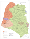 | Geologic reconnaissance map of Union County (1"" = 2 miles) by J.F. McCauley (1966) | 1966 | 22x34 | 6.00 |
| Open-File Report (OFR) | OFR-8 | 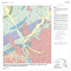 | Geologic Map of the Columbia North quadrangle, Lexington and Richland Counties, South Carolina (1972) by T. F. Johnson | 1972 | 28x28 | 15.00 |
| Open-File Report (OFR) | OFR-9 | Geologic map of the Mt. Carmel pluton, McCormick County (3"" = 1 mile) by J. H. Medlin | 2.00 | |||
| Open-File Report (OFR) | OFR-10 |  | Geologic map of the Buffalo pluton, Union County (3"" = 1 mile) by J. H. Medlin (1966) | 1966 | 20x30 | 4.00 |
| Open-File Report (OFR) | OFR-11 | Generalized geologic map of Newberry County (1"" = 2 miles) by J. F. McCauley | 2.00 | |||
| Open-File Report (OFR) | OFR-13 | Geology of Poor Mountain, Oconee County (1"" = 200') by H. Johnson | 2.00 | |||
| Open-File Report (OFR) | OFR-14 | South Carolina Showing Stream Order and Link Magnitude (1:500,000) by W. E. Sharpe | 2.00 | |||
| Open-File Report (OFR) | OFR-16 | Geochemical data for Au, Ba, Cu, Li, Mn, Ni, Pb and Zn for panned stream sediment from portions of the Kings Mountain belt (Cherokee and York Counties, S.C. and Cleveland and Gaston Counties, N.C.). Analyses (9 pages) and seven 7.5-minute quadrangles (Blacksburg North, Kings Creek, Hickory Grove, Grover, Blacksburg South, Filbert, Kings Mountain) | 9.00 | |||
| Open-File Report (OFR) | OFR-17 | 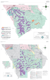 | Preliminary geologic map of Chesterfield County. Plate 1 is a (1:100,000 scale) County Map. Plate 2 are the original 7.5-minute quadrangles on a (1:62,500 scale base) of the following quadrangles (Patrick, Cash, Angelus, Chesterfield, Lake Robinson, Mt. Croghan, Ruby, Morven West, Pageland, Middendorf) by D. Howell and J. R. Butler (1977) This publication is an exact recreation of the original OFR with no new interpretations or changes. | 1977 | various | 30.00 |
| Open-File Report (OFR) | OFR-18 | Simple Bouguer gravity anomaly maps of the Greenwood, Good Hope, Kirksey and Ninety-Six quadrangles and preliminary geologic map of the Kirksey quadrangle (explanation and maps - 1:24,000) by R. Chalcraft, D. P. Lawrence, C.A. Taylor and A. C. Due | 6.00 | |||
| Open-File Report (OFR) | OFR-19 | Geologic map of Aiken County, S.C. with explanatory text (1:100,000) G. Smith | 7.50 | |||
| Open-File Report (OFR) | OFR-20 | Geologic map of Lexington County, S.C. with explanatory text (1:100,000) by G. Smith | 7.50 | |||
| Open-File Report (OFR) | OFR-21 | Reconnaissance geologic map and mineral deposit locations in the Smyrna region, York and Cherokee Counties, S.C. with explanation (1:24,000) by J. R. Butler | 6.00 | |||
| Open-File Report (OFR) | OFR-22 | Gravity map of the Cokesbury quadrangle (1:24.000) by R. Chalcraft, D. Lawrence, S. Horrocks, D. Downs and M. Velgus | 2.50 | |||
| Open-File Report (OFR) | OFR-23 | Gravity map of the Waterloo quadrangle (1:24,000) by R. Chalcraft, D. Lawrence, S. Horrocks, D. Downs and M. Velgus | 2.50 | |||
| Open-File Report (OFR) | OFR-24 | 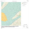 | Geology of the Limestone Quadrangle, Edgefield, Greenwood, McCormick, and Saluda Counties, South Carolina. 1:24,000 (1981) by William A. Pirkle | 1981 | 28x28 | 15.00 |
| Open-File Report (OFR) | OFR-25 | Geochemical reconnaissance for Copper (Cu), Lead (Pb), Zinc (Zn), Nickel (Ni), and Cobalt (Co), in portions of the Carolina slate belt and Lowndesville belt (Abbeville and McCormick Counties, S.C.). Analyses and seven 7.5-minute quadrangles (Abbeville East, Abbeville West, Calhoun Creek, Calhoun Falls, Latimer, Lowndesville, Verdery) by V. Griffin and A.H. Maybin, III | 11.50 | |||
| Open-File Report (OFR) | OFR-26 | A preliminary report on Belk and Stevens gold mines central Lancaster County, S.C. by J. R. Butler | 2.00 | |||
| Open-File Report (OFR) | OFR-27 | Geologic map of the southern half of the Ware Shoals West quadrangle (1:24,000)(Old Saluda copper mine area) (1983) by F. J. Bynum, Jr. | 1983 | 2.50 | ||
| Open-File Report (OFR) | OFR-28 | Stream sediment geochemical reconnaissance for Cu, Pb, Zn, Sn, W and Mo in the Inner Piedmont belt of South Carolina; Anderson South and Iva quadrangles (1:24,000) (1983) | 1983 | 5.00 | ||
| Open-File Report (OFR) | OFR-29 | Stream sediment geochemical reconnaissance for Cu, Pb, Zn, Sn, W and Mo in the Inner Piedmont belt of South Carolina; Ware Shoals West quadrangle (1:24,000) (1983) | 1983 | 2.50 | ||
| Open-File Report (OFR) | OFR-30 | Geologic map of Oakwood quadrangle (1:24,000) (March 1983) by L. E. Kite | 1983 | 2.50 | ||
| Open-File Report (OFR) | OFR-31 | Geologic map of the Graniteville quadrangle (1983) (1:24,000) by R. H. Willoughby | 1983 | 2.50 | ||
| Open-File Report (OFR) | OFR-32 | Geologic map of the Seivern quadrangle (1:62,500 mapped at 1:24,000) (1983). Four maps and cross section by L. E. Kite | 1983 | 10.00 | ||
| Open-File Report (OFR) | OFR-34A | Seismic zones of S.C. This 1984 report, the first of three parts, describes the periodic (cyclic) relationship between seismicity and tectonics in South Carolina by T. R. Visvanathan | 1984 | 2.00 | ||
| Open-File Report (OFR) | OFR-35 | Gravity maps of Bradley and Verdery quadrangles (1984) (1:24,000) by D. Lawrence and R. Chalcraft | 1984 | 5.00 | ||
| Open-File Report (OFR) | OFR-36 | Gravity map of Cross Hill quadrangle (1984) (1:24,000) by D. Lawrence and R. Chalcraft | 1984 | 2.50 | ||
| Open-File Report (OFR) | OFR-38 | Evaluation of the Santee Limestone for use in flue-gas desulfurization systems by S. Mittwede | 2.00 | |||
| Open-File Report (OFR) | OFR-39 |  | Geologic map of the Aiken NW quadrangle (1:24,000) (1984) by R. H. Willoughby | 1984 | 28x28 | 15.00 |
| Open-File Report (OFR) | OFR-40 |  | Geologic map of the Woodford quadrangle (1984) (1:62,500 mapped at 1:24,000) (4) Quadrangle Maps (Pond Branch; Swansea; Harleys Millpond; North), and a cross section (5 plates) by L. E. Kite | 1984 | various | 30.00 |
| Open-File Report (OFR) | OFR-41 |  | Geologic map of the Faulkner Mountain Area, Edgefield, Greenwood, and Saluda Counties, South Carolina. 1:12,000 (1984) by S. K. Mittwede and A. H. Maybin, III. This map is located in the Carolina slate belt region. | 1984 | 26x23 | 15.00 |
| Open-File Report (OFR) | OFR-42 | Geology of the Pelion East and Gaston quadrangles, (1984) (1:24,000) by L. E. Kite | 1984 | 6.00 | ||
| Open-File Report (OFR) | OFR-43 | Geology of the Trenton quadrangle (1985) (1:24,000). Map and cross section by R. H. Willoughby | 1985 | 4.00 | ||
| Open-File Report (OFR) | OFR-44 | Stream sediment geochemical reconnaissance for Cu, Pb, Zn and Au in the Glenn Springs (1985) (1:24,000) quadrangle | 1985 | 4.00 | ||
| Open-File Report (OFR) | OFR-45 | Geology of the Lexington and SW Columbia quadrangles (1985) (1:24,000). Map, cross section and explanation by L. E. Kite | 1985 | 6.00 | ||
| Open-File Report (OFR) | OFR-46 |  | Geologic map of the Coastal Plain in Johnston and Edgefield quadrangles (1985) (1:24,000). Map, cross section and explanation by R. H. Willoughby | 1985 | 41x36 | 15.00 |
| Open-File Report (OFR) | OFR-47 | Bouguer gravity maps (1 milligal contour interval) of the Dyson, Shoals Junction and Abbeville East quadrangles (1985) (1:24,000) by D. P. Lawrence. Maps and gravity station data | 1985 | 7.50 | ||
| Open-File Report (OFR) | OFR-48 | Geological map of the Martin quadrangle (1985) (1:24,000) by K. Steele | 1985 | 3.00 | ||
| Open-File Report (OFR) | OFR-49 |  | Rare Earth Elements in South Carolina Stream Sediments (1985) (1:500,000) by J. Gellici, W. E. Sharpe and J. Arbough. Elements included: (La, Ce, Sm, Eu, Dy, Yb) | 1985 | 46x36 | 15.00 |
| Open-File Report (OFR) | OFR-50 |  | S.C. Mines Inventory. Location of active and inactive mines and/or prospects plotted on 1° x 2° quadrangles (1985) (1:250,000) by A. H. Maybin, III | 1985 | 37x30 | 15.00 |
| Open-File Report (OFR) | OFR-51 | Geologic map of the southern half of the Boiling Springs South quadrangle, South Carolina and North Carolina (1985) (1:24,000) by S. Mittwede. Map and explanation on one sheet | 1985 | 3.00 | ||
| Open-File Report (OFR) | OFR-52 | Bouguer gravity maps of the Clinton and Laurens South 7.5-minute quadrangles (1985) by D. P. Lawrence | 1985 | 5.00 | ||
| Open-File Report (OFR) | OFR-53 | Geologic map of the Gilbert 15-minute quadrangle (1985). Two maps, cross section and explanation by L. E. Kite | 1985 | 7.00 | ||
| Open-File Report (OFR) | OFR-54 | Geology of the Coastal Plain in Ropers Crossroads and North Augusta quadrangles, S.C. (1986) (1:24,000) by R. H. Willoughby. Two maps, cross sections and a 12-page explanation | 1986 | 7.00 | ||
| Open-File Report (OFR) | OFR-55 | Geologic map of a portion of the Good Hope 7.5-minute quadrangle (1986) by S. Mittwede and A.H. Maybin, III | 1986 | 3.00 | ||
| Open-File Report (OFR) | OFR-56 | Bouguer gravity maps of Ware Shoals East and Ware Shoals West 7.5-minute quadrangles (1986) by D. P. Lawrence | 1986 | 5.00 | ||
| Open-File Report (OFR) | OFR-57 | Geologic map of the Ashwood 15-minute quadrangle (1986) by L. E. Kite. Map, cross section and explanation | 1986 | 3.50 | ||
| Open-File Report (OFR) | OFR-58 | Geomorphological map showing the coastal systems within the Dongola quadrangle (1987) (1:24,000) by J. R. DuBar | 1987 | 3.00 | ||
| Open-File Report (OFR) | OFR-59 | Bouguer gravity maps (1 milligal contour interval) of the Due West, Edgefield, Red Hill, Colliers and Ropers Crossroads 7.5-minute (1986) quadrangles by D. P. Lawrence. Five maps and data sheets for the gravity stations are included | 1986 | 12.50 | ||
| Open-File Report (OFR) | OFR-61 | Nuclear elements in South Carolina stream sediments. Map is designed to overlay planimetric or contour maps (1987) (1:500,000) by J. Gellici and W. E. Sharpe. Data for V, Sc, Hf, U, Th, and La are plotted using rose diagrams | 1987 | 4.00 | ||
| Open-File Report (OFR) | OFR-62 | 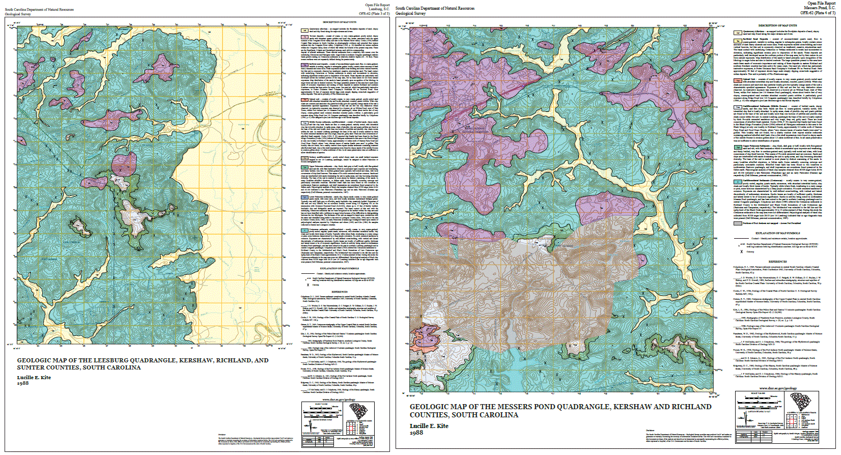 | Geologic maps of the Congaree, Eastover, Leesburg and Messers Pond 7.5-minute quadrangles (1988) by L. E. Kite. Five maps and 7-page explanation. Updated Congaree and Eastover maps are available. | 1988 | 20.00 | |
| Open-File Report (OFR) | OFR-63 | Geologic map of Chester County, S.C. (1:125,000) (1988) by J. R. Butler. Map and 5-page explanation | 1988 | 8.00 | ||
| Open-File Report (OFR) | OFR-64 | 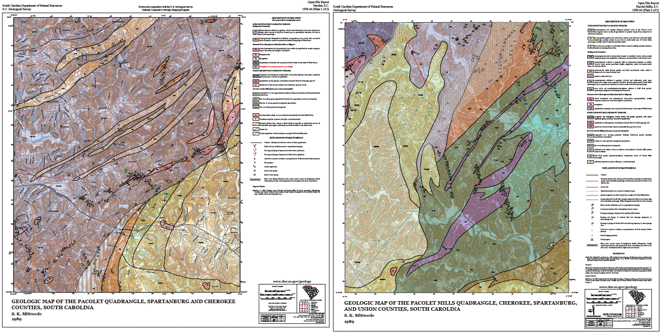 | Geologic maps of Pacolet and Pacolet Mills 7.5-minute quadrangles (1989) by S. Mittwede. Two maps and explanation | 1989 | 16.00 | |
| Open-File Report (OFR) | OFR-65 | Geologic map of the Cameron lead mine area. Gaffney 7.5-minute quadrangle, Cherokee County, S. C. by S. Mittwede. Map (1989; on 1:12,000 scale base) and explanation. Locations of mine workings are included on inset to map | 1989 | 8.00 | ||
| Open-File Report (OFR) | OFR-66 | Gold mine localities for McCormick, Saluda and Edgefield Counties, South Carolina by A.H. Maybin, III. Gives names and locations of gold mines and prospects on portions of USGS 1:24,000 topographic maps. Also lists recent exploration activity and references | 8.00 | |||
| Open-File Report (OFR) | OFR-69 |  | Geologic map of the Clemson 7.5-minute quadrangle South Carolina by Villard S. Griffin, Jr. (1993) | 1993 | 28x48 | 15.00 |
| Open-File Report (OFR) | OFR-70 | Bouguer gravity maps of the Graniteville and Trenton 7.5-minute maps and gravity station data by D. P. Lawrence (1990) | 1990 | 8.00 | ||
| Open-File Report (OFR) | OFR-71 | Geologic map of the Ora 7.5-minute (1992) quadrangle, South Carolina by Clark A. Niewendorp | 1992 | 8.00 | ||
| Open-File Report (OFR) | OFR-72 | Geologic map of the Philson Crossroads 7.5-minute quadrangle (1992) by Clark A. Niewendorp | 1992 | 8.00 | ||
| Open-File Report (OFR) | OFR-73 | 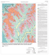 | Cretaceous and Tertiary stratigraphy map of the Hollow Creek 7.5-minute quadrangle, western Aiken County, South Carolina (1993) by Paul G. Nystrom, Jr. | 1993 | 28x32 | 15.00 |
| Open-File Report (OFR) | OFR-74 | 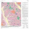 | Surface and near-surface stratigraphy map of the Snelling 7.5-minute quadrangle, Barnwell and Allendale Counties, South Carolina (1993) by Ralph H. Willoughby | 1993 | 28x28 | 15.00 |
| Open-File Report (OFR) | OFR-75 | 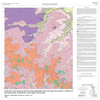 | Surface & near-surface stratigraphy map of the Williston 7.5-minute quadrangle, Barnwell and Aiken Counties, South Carolina (1995) by R. H. Willoughby and P. G. Nystrom Jr. | 1995 | 28x28 | 15.00 |
| Open-File Report (OFR) | OFR-76 | Bedrock geology map of Ware Shoals East 7.5-minute quadrangle (1993) by Clark A. Niewendorp. This Open-File Report is superseded Geologic Quadrangle Map 12 (GQM-12). | 1993 | 8.00 | ||
| Open-File Report (OFR) | OFR-77 | Bedrock geology of the Laurens South 7.5-minute quadrangle, South Carolina (1994) by Clark A. Niewendorp | 1994 | 8.00 | ||
| Open-File Report (OFR) | OFR-78 | Bedrock geology of the Cross Hill 7.5-minute quadrangle, South Carolina (1994) by Clark A. Niewendorp | 1994 | 8.00 | ||
| Open-File Report (OFR) | OFR-79 | Bedrock geology of the Clinton 7.5-minute quadrangle, South Carolina (1994) by Clark A. Niewendorp | 1994 | 8.00 | ||
| Open-File Report (OFR) | OFR-80 |  | Geology map of Long Branch 7.5-minute quadrangle, South Carolina (1996) by Paul G. Nystrom, Jr. | 1996 | 39x28 | 15.00 |
| Open-File Report (OFR) | OFR-81 | Geology of the Cokesbury 7.5-minute quadrangle, South Carolina (1995) by Thomas E. West, Jr. | 1995 | 8.00 | ||
| Open-File Report (OFR) | OFR-82 | Geology of the Waterloo 7.5-minute quadrangle, South Carolina (1995) by Thomas E. West, Jr. | 1995 | 8.00 | ||
| Open-File Report (OFR) | OFR-83 | Bouguer gravity maps of Limestone, Owdoms and Winterseat 7.5-minute quadrangles, South Carolina (1995) by David P. Lawrence, Ph.D. Not available. | 1995 | |||
| Open-File Report (OFR) | OFR-84 | Geology of the Bush River 7.5-minute quadrangle, South Carolina (1995) by Clark A. Niewendorp | 1995 | 8.00 | ||
| Open-File Report (OFR) | OFR-85 | Geology of the Joanna 7.5-minute quadrangle, South Carolina (1995) by Clark A. Niewendorp | 1995 | 8.00 | ||
| Open-File Report (OFR) | OFR-86 | Geology of the Chappells 7.5-minute quadrangle, South Carolina (1995) by William R. Doar, III | 1995 | 8.00 | ||
| Open-File Report (OFR) | OFR-87 | Geology of the Dyson 7.5-minute quadrangle, South Carolina (1995) by David P. Lawrence | 1995 | 8.00 | ||
| Open-File Report (OFR) | OFR-88 | Geology of the Shoals Junction 7.5-minute quadrangle, South Carolina (1995) by Thomas E. West, Jr. | 1995 | 8.00 | ||
| Open-File Report (OFR) | OFR-89 | Geology of the Laurens North 7.5-minute quadrangle, South Carolina (1995) by Clark A. Niewendorp | 1995 | 8.00 | ||
| Open-File Report (OFR) | OFR-90 | 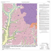 | Upper Paleocene to Quaternary, surface and near-surface stratigraphy of the Windsor 7.5-minute quadrangle, Aiken and Barnwell Counties, South Carolina (1997) by Ralph H. Willoughby, P. G. Nystrom, Jr., L. K. Price. Map (1 sheet) and explanation (28 pages) | 1997 | 28x28 | 15.00 |
| Open-File Report (OFR) | OFR-91 |  | Geology of the Girard NE 7.5-minute quadrangle, South Carolina (1997) by Ralph H. Willoughby | 1997 | 39x32 | 15.00 |
| Open-File Report (OFR) | OFR-92 |  | Geologic map of the Simpsonville 7.5-minute quadrangle, South Carolina (1996) by Arthur H. Maybin, III | 1996 | 28x28 | 15.00 |
| Open-File Report (OFR) | OFR-93 |  | Geologic map of the Pelham 7.5-minute quadrangle, South Carolina (1997) by Arthur H. Maybin, III | 1997 | 28x28 | 15.00 |
| Open-File Report (OFR) | OFR-94 |  | Geologic map of the Reidville 7.5-minute quadrangle, South Carolina (1997) by Douglas C. Curl | 1997 | 28x28 | 15.00 |
| Open-File Report (OFR) | OFR-95 |  | Geologic map of the Wellford 7.5-minute quadrangle, South Carolina (1997) by Douglas C. Curl | 1997 | 28x28 | 15.00 |
| Open-File Report (OFR) | OFR-96 | 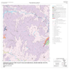 | Geologic map of the Valley Falls 7.5-minute quadrangle, South Carolina (1997) by Will R. Doar, III | 1997 | 28x28 | 15.00 |
| Open-File Report (OFR) | OFR-97 | Geologic map of the Inman 7.5-minute quadrangle, South Carolina (1997) by Will R. Doar, III | 1997 | 8.00 | ||
| Open-File Report (OFR) | OFR-98 | 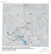 | Whole-rock geochemical analysis of samples from Abbeville, Greenville, Greenwood, Laurens, Newberry, Saluda, Spartanburg and Union Counties, South Carolina (1997) by Arthur H. Maybin, III and Clark A. Niewendorp | 1997 | 5.00 | |
| Open-File Report (OFR) | OFR-99 | Geologic map of the Paris Mountain 7.5-minute quadrangle, South Carolina (1997) by Clark A. Niewendorp. This Open-File Report is superseded by Open-File Report 158 OFR-158. | 1997 | 8.00 | ||
| Open-File Report (OFR) | OFR-100 | Geologic map of the Saint Paul 7.5-minute quadrangle, South Carolina (1997) by Ralph H. Willoughby. This Open-File Report is superseded by Geologic Quadrangle Map 8 (GQM-8). | 1997 | 8.00 | ||
| Open-File Report (OFR) | OFR-101 | Geologic map of the Pinewood 7.5-minute quadrangle, South Carolina (1997) by Ralph H. Willoughby. This Open-File Report is superseded by Geologic Quadrangle Map 7 (GQM-7). | 1997 | 8.00 | ||
| Open-File Report (OFR) | OFR-102 | Geologic map of the Lone Star 7.5-minute quadrangle, South Carolina (1997) by Ralph H. Willoughby. This Open-File Report is superseded by Geologic Quadrangle Map 15 (GQM-15). | 1997 | 8.00 | ||
| Open-File Report (OFR) | OFR-103 | Geologic map of the Fort Motte 7.5-minute quadrangle, South Carolina (1997) by Ralph H. Willoughby. This Open-File Report is superseded by Geologic Quadrangle Map 10 (GQM-10). | 1997 | 8.00 | ||
| Open-File Report (OFR) | OFR-104 | Fault Map of the Lake Murray Dam Spillway, Lexington County, South Carolina (1997) by Clark A. Niewendorp | 1997 | 8.00 | ||
| Open-File Report (OFR) | OFR-105 |  | Geologic map of the New Ellenton Southeast 7.5-minute quadrangle, South Carolina (1997) by Paul G. Nystrom, Jr. | 1997 | 46x31 | 15.00 |
| Open-File Report (OFR) | OFR-106 |  | Geologic map of the New Ellenton Southwest 7.5-minute quadrangle, South Carolina (1997) by Paul G. Nystrom, Jr. | 1997 | 28x28 | 15.00 |
| Open-File Report (OFR) | OFR-107 |  | Geologic map of the Girard NW and Shell Bluff Landing 7.5-minute quadrangle, Barnwell and Aiken Counties, South Carolina (1998) by Paul G. Nystrom, Jr., (2 sheets) | 1998 | 28x28 | 30.00 |
| Open-File Report (OFR) | OFR-108 | 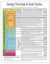 | Geologic Time Scale for South Carolina (1998) by Clark Niewendorp | 1998 | 24x36 | 8.00 |
| Open-File Report (OFR) | OFR-109 | Geologic map of the Campobello 7.5-minute quadrangle, South Carolina (1998) by William R. Doar, III | 1998 | 8.00 | ||
| Open-File Report (OFR) | OFR-110 | Geologic map of the Tigerville 7.5-minute quadrangle, South Carolina (1998) by William R. Doar, III | 1998 | 8.00 | ||
| Open-File Report (OFR) | OFR-111 |  | Projected Earthquake Intensities for South Carolina (1998) by Clark Niewendorp | 1998 | 25x16 | 4.00 |
| Open-File Report (OFR) | OFR-112 |  | South Carolina Principal Nonfuel Mineral Producing Counties (1998) by Clark Niewendorp. Mineral Information Updated 2007 | 1998 | 28x18 | 4.00 |
| Open-File Report (OFR) | OFR-113 | 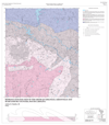 | Bedrock Geologic map of the Greer 7.5-minute quadrangle, Greenville and Spartanburg Counties, South Carolina (1998) by Arthur H. Maybin. Revised in (2003) | 1998 | 28x32 | 15.00 |
| Open-File Report (OFR) | OFR-114 |  | Geologic map of the Fountain Inn 7.5-minute quadrangle, Greenville and Laurens Counties, South Carolina by (1998) Irene B. Boland | 1998 | 28x28 | 15.00 |
| Open-File Report (OFR) | OFR-115 |  | Geologic map of the Pageland 7.5-minute quadrangle, Chesterfield County, South Carolina (1998) by Paul G. Nystrom, Jr. | 1998 | 28x28 | 15.00 |
| Open-File Report (OFR) | OFR-116 | Geologic map of the Summerton 7.5-minute quadrangle, Clarendon County, South Carolina (1998) by Ralph W. Willoughby with contributions by C. W. Clendenin. This Open-File Report is superseded by Geologic Quadrangle Map 6 (GQM-6). | 1998 | 8.00 | ||
| Open-File Report (OFR) | OFR-117 | Geologic Map of the Elloree 7.5-minute quadrangle, Calhoun and Orangeburg Counties, South Carolina (1998) by Ralph W. Willoughby with contributions by C. W. Clendenin. This Open-File Report is superseded by Geologic Quadrangle Map 27 (GQM-27). | 1998 | 8.00 | ||
| Open-File Report (OFR) | OFR-118 | Geology of Lynch's Woods Park, Newberry County, South Carolina (1999) by Clark A. Niewendorp and C. W. Clendenin | 1999 | 8.00 | ||
| Open-File Report (OFR) | OFR-119 | Geologic maps of the Edisto Island, Edisto Beach and northeastern St. Helena Sound 7.5-minute quadrangles, Charleston and Colleton Counties, South Carolina (1999) by William R. Doar, III. This Open-File Report is superseded by Geologic Quadrangle Map's GQM-20 GQM-21 GQM-23. | 1999 | 12.00 | ||
| Open-File Report (OFR) | OFR-120 |  | Geologic map of the Jackson 7.5-minute quadrangle, Aiken County, South Carolina (1999) by Paul G. Nystrom, Jr. | 1999 | 28x31 | 15.00 |
| Open-File Report (OFR) | OFR-121 |  | Geologic map of the Woodruff 7.5-minute quadrangle, Laurens and Spartanburg Counties, South Carolina (1999) by Irene B. Boland | 1999 | 28x28 | 15.00 |
| Open-File Report (OFR) | OFR-122 | Geologic map of the Hickory Tavern 7.5-minute quadrangle, Laurens and Greenville Counties, South Carolina (1999) by Jack M. Garihan. This Open-File Report is superseded by Geologic Quadrangle Map 11 (GQM-11). | 1999 | 8.00 | ||
| Open-File Report (OFR) | OFR-123 |  | Geologic map of the northern half of Fork Shoals 7.5-minute quadrangle, Laurens County, South Carolina (1999) by Paul G. Nystrom, Jr., Arthur H. Maybin, and Clark A. Niewendorp. (this OFR was combined with the southern half, OFR-124) | 1999 | 28x28 | 15.00 |
| Open-File Report (OFR) | OFR-124 |  | Geologic map of the southern half of Fork Shoals 7.5-minute quadrangle, Greenville and Laurens Counties, South Carolina (1999) by C. W. Clendenin, Jr. (this OFR was combined with the northern half, OFR-123) | 1999 | 28x28 | 15.00 |
| Open-File Report (OFR) | OFR-125 |  | South Carolina Geologic Map and Time Scale (1999) by Clark A. Niewendorp | 1999 | 17x11 | 2.00 |
| Open-File Report (OFR) | OFR-126 | 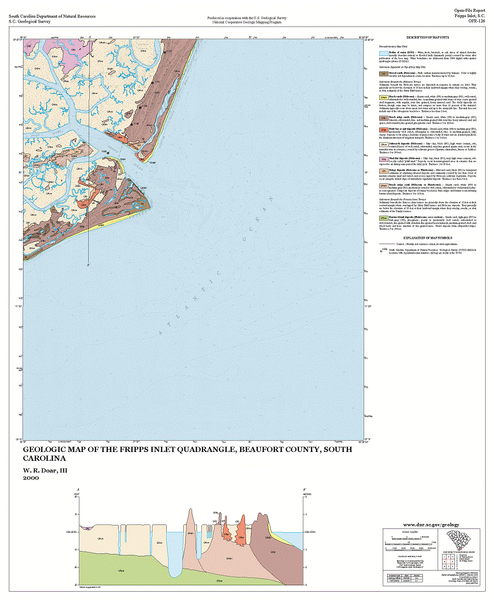 | Geologic Map of the Fripps Inlet Quadrangle, Beaufort County, South Carolina 1:24,000 (2000) by Will R. Doar, III | 2000 | 28x28 | 18.00 |
| Open-File Report (OFR) | OFR-127 |  | Geologic map of the Cowpens 7.5 minute quadrangle, Cherokee and Spartanburg Counties, South Carolina (2000) By Irene B. Boland with contributions by C. Scott Howard | 2000 | 28x28 | 15.00 |
| Open-File Report (OFR) | OFR-128 |  | Geologic map of the Pacolet 7.5-minute quadrangle, Spartanburg and Cherokee Counties, South Carolina (2000) by Paul G. Nystrom, Jr. | 2000 | 28x28 | 15.00 |
| Open-File Report (OFR) | OFR-129 | Geologic map of the Slater 7.5-minute quadrangle, Greenville County, South Carolina (2000) by John M. Garihan and James L. Kalbas with contributions by C. W. Clendenin, Jr. This Open-File Report is superseded by Geologic Quadrangle Map 34 (GQM-34). | 2000 | 8.00 | ||
| Open-File Report (OFR) | OFR-130 | Geologic map of the Cleveland 7.5-minute quadrangle, Greenville and Pickens Counties, South Carolina (2000) by John M. Garihan. This Open-File Report is superseded by Geologic Quadrangle Map 34 (GQM-33). | 2000 | 8.00 | ||
| Open-File Report (OFR) | OFR-131 |  | Geologic map of the Girard 7.5-minute quadrangle, Barnwell County, South Carolina (2001) by Paul G. Nystrom, Jr. | 2001 | 28x28 | 15.00 |
| Open-File Report (OFR) | OFR-132 |  | Geologic map of the Mechanic Hill 7.5-minute quadrangle, Aiken County, South Carolina (2001) by Paul G. Nystrom, Jr. | 2001 | 28x28 | 15.00 |
| Open-File Report (OFR) | OFR-133 |  | Geologic map of the west half of Taylors 7.5-minute quadrangle, Greenville County, South Carolina (2001) by Seth S. Blackwell (this OFR was combined with the eastern half, OFR-134) | 2001 | 28x36 | 15.00 |
| Open-File Report (OFR) | OFR-134 |  | Geologic map of the east half of Taylors 7.5-minute quadrangle, Greenville County, South Carolina (2001) by John S. MacLean (this OFR was combined with the western half, OFR-133) | 2001 | 28x36 | 15.00 |
| Open-File Report (OFR) | OFR-135 | 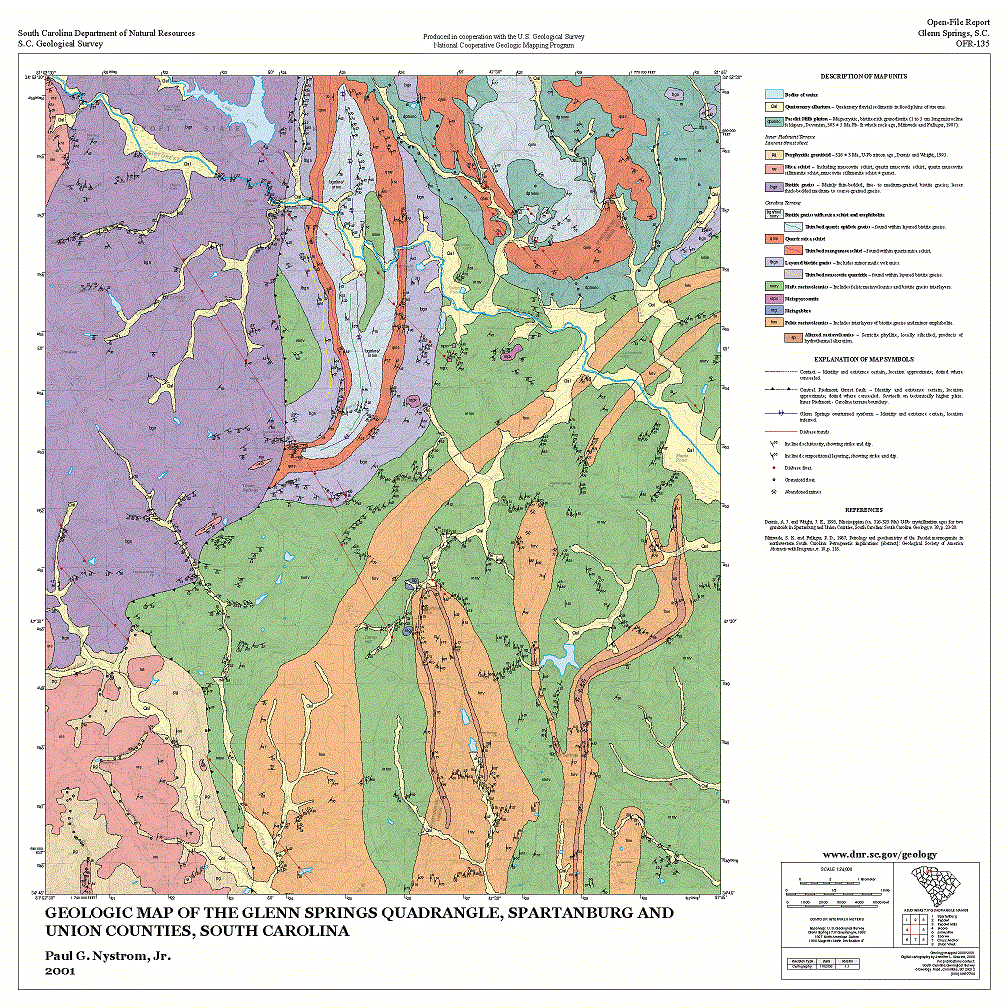 | Geologic map of the Glenn Springs 7.5-minute quadrangle, Spartanburg and Union Counties, South Carolina (2001) by Paul G. Nystrom, Jr. | 2001 | 28x28 | 15.00 |
| Open-File Report (OFR) | OFR-136 |  | Geologic map of the Moore 7.5-minute quadrangle, Spartanburg County, South Carolina (2001) by Irene B. Boland | 2001 | 28x28 | 15.00 |
| Open-File Report (OFR) | OFR-137 | 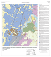 | Geologic map of the Jasper 7.5-minute quadrangle, Beaufort County, South Carolina (2001) by W. R. Doar, III | 2001 | 33x31 | 15.00 |
| Open-File Report (OFR) | OFR-138 | 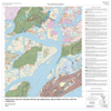 | Geologic map of the Bluffton 7.5-minute quadrangle, Beaufort County, South Carolina (2001) by W. R. Doar, III | 2001 | 28x28 | 15.00 |
| Open-File Report (OFR) | OFR-139 | 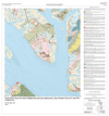 | Geologic map of the Parris Island 7.5-minute quadrangle, Beaufort County, South Carolina (2001) by W. R. Doar, III | 2001 | 28x28 | 15.00 |
| Open-File Report (OFR) | OFR-140 | 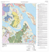 | Geologic map of the Spring Island 7.5-minute quadrangle, Beaufort and Jasper Counties, South Carolina (2001) by W. R. Doar, III | 2001 | 28x28 | 15.00 |
| Open-File Report (OFR) | OFR-141 | Geologic Map of the Table Rock 7.5-minute quadrangle, Greenville and Pickens Counties, South Carolina, and Transylvania County, North Carolina (2001) by John M. Garihan and William A. Ransom. This Open-File Report is superseded by Geologic Quadrangle Map 9 (GQM-9. | 2001 | 8.00 | ||
| Open-File Report (OFR) | OFR-142 | Geology of the Mauldin 7.5-minute quadrangle, northern half, Greenville County, South Carolina, (2002) by Jonathan Buffaloe, with contributions by C. W. Clendenin, and John M. Garihan. This Open-File Report is superseded by Open-File Report 149 (OFR-149). | 2002 | 8.00 | ||
| Open-File Report (OFR) | OFR-143 | 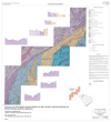 | Geology of the Reedy River Thrust in the Vicinity and Southwest of Spartanburg, South Carolina, SCALE 1:100,000, (2002) by Geologist at the SCGS, Includes Cowpens, Pacolet, Spartanburg, Moore, Reidville, Pelham, Simpsonville, Fork Shoals, Fountain Inn Quadrangles | 2002 | 31x34 | 15.00 |
| Open-File Report (OFR) | OFR-144 | 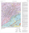 | Geologic Map of the Spartanburg 7.5-minute quadrangle Spartanburg County, South Carolina, (2002) by Paul G. Nystrom, Jr. | 2002 | 28x31 | 15.00 |
| Open-File Report (OFR) | OFR-145 | Geology of the Standingstone Mountain 7.5-minute quadrangle, Greenville County, South Carolina, and Transylvania and Henderson Counties, North Carolina, (2002) by John M. Garihan and William A. Ransom. This Open-File Report is superseded by Geologic Quadrangle Map 35 GQM-35). | 2002 | 8.00 | ||
| Open-File Report (OFR) | OFR-146 |  | Geology of the Bluffton Area South of Port Royal Sound, South Carolina. Scale 1: 62,500, (2003) Digital Compilation by Erin E. Hudson with contributions by W. R. Doar, III. , M. D. Fields, C. W. Clendenin and C. S. Howard | 2003 | 53x36 | 15.00 |
| Open-File Report (OFR) | OFR-147 | 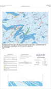 | Bedrock Geologic Map of the Little Mountain Area, Anderson South 7.5-minute quadrangle, Anderson County, South Carolina. 1:24,000 (2003) by Anthony Soricelli | 2003 | 22x36 | 15.00 |
| Open-File Report (OFR) | OFR-148 | 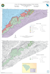 | Geology of the Wadakoe Mountain Area in Sunset 7.5-minute quadrangle, Pickens County, South Carolina. 1:24,000 (2003) by John M. Garihan | 2003 | 22x36 | 15.00 |
| Open-File Report (OFR) | OFR-149 | 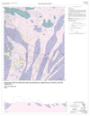 | Geologic Map of the Mauldin 7.5-minute quadrangle, Greenville County, South Carolina. 1:24,000 (2003) Compiled by Arthur H. Maybin | 2003 | 28x36 | 15.00 |
| Open-File Report (OFR) | OFR-150 |  | Geology of the ACE Basin, Beaufort, Charleston, and Colleton Counties, South Carolina. This Open-File is a compilation of Dale, Wiggins, Bennetts Point, Edisto Island, Beaufort, Frogmore, St. Helena Sound, Edisto Beach, Parris Island, St. Phillips Island, and Fripps Inlet 7.5-minute quadrangles at 1:62,500 (2004) Geology by W. R. Doar, III., Digital Compilation by Erin E. Hudson | 2004 | 58x36 | 30.00 |
| Open-File Report (OFR) | OFR-151 |  | Geologic Map of the Limehouse and Port Wentworth 7.5-minute quadrangles, Beaufort and Jasper Counties, South Carolina, and Chatham County, Georgia. 1:24,000 (2008), (2 sheets) by W. R. Doar | 2008 | 33x36 | 15.00 |
| Open-File Report (OFR) | OFR-152 |  | Geologic Map of the Hardeeville and Rincon 7.5-minute quadrangles, Beaufort and Jasper Counties, South Carolina, and Chatham County, Georgia. 1:24,000 (2008), (2 sheets) by W. R. Doar | 2008 | 33x36 | 15.00 |
| Open-File Report (OFR) | OFR-153 |  | Geologic Map of the Blacksburg South 7.5-minute quadrangle, Cherokee County, South Carolina. 1:24,000 (2009) by Paul Nystrom, Jr. | 2009 | 33x32 | 15.00 |
| Open-File Report (OFR) | OFR-154 | 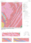 | Bedrock Geology of the Rainy Mountain Quadrangle, Oconee County, South Carolina and Rabun County, Georgia 1:24,000 (2000) by Robert D. Hatcher, Jr. | 2000 | 28x39 | 15.00 |
| Open-File Report (OFR) | OFR-155 | 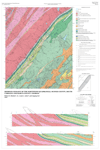 | Bedrock Geology of the Whetstone Quadrangle, Oconee County, South Carolina and Rabun County, Georgia 1:24,000 (2001) by Robert D. Hatcher, Jr., Louis L. Acker, and Angang Liu | 2001 | 28x42 | 15.00 |
| Open-File Report (OFR) | OFR-156 | 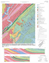 | Bedrock Geology of the Tugaloo Lake Quadrangle, Oconee County, South Carolina and Habersham, Rabun, and Stephens Counties, Georgia 1:24,000 (2001) by Robert D. Hatcher, Jr. | 2001 | 28x36 | 15.00 |
| Open-File Report (OFR) | OFR-157 | 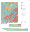 | Bedrock Geology of the Holly Springs Quadrangle, Oconee County, South Carolina and Stephens County, Georgia 1:24,000 (2001) by Robert D. Hatcher, Jr., Angang Liu | 2001 | 33x36 | 15.00 |
| Open-File Report (OFR) | OFR-158 | 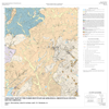 | Geologic Map of the Paris Mountain Quadrangle, Greenville County, South Carolina. 1:24,000 (2010) by Clark A. Niewendorp, John M. Garihan, and C. W. Clendenin, Jr. | 2010 | 28x28 | 15.00 |
| Open-File Report (OFR) | OFR-159 |  | Geologic Map of the Chesnee Quadrangle, Cherokee and Spartangburg Counties, South Carolina and Cleveland and Rutherford Counties, North Carolina 1:24,000 (2010) by Irene B. Boland | 2010 | 33x32 | 15.00 |
| Open-File Report (OFR) | OFR-160 |  | Geologic Map of the Brighton Quadrangle, Hampton and Jasper Counties, South Carolina 1:24,000 (2013) by Will R. Doar, III | 2013 | 29x29 | 15.00 |
| Open-File Report (OFR) | OFR-161 |  | Geologic Map of the Calfpen Bay Quadrangle, Jasper County, South Carolina 1:24,000 (2013) by Will R. Doar, III. | 2013 | 29x29 | 15.00 |
| Open-File Report (OFR) | OFR-162 |  | Geologic Map of the Kildare Quadrangle, Hampton County, South Carolina 1:24,000 (2013) by Will R. Doar, III | 2013 | 29x29 | 15.00 |
| Open-File Report (OFR) | OFR-163 |  | Geologic Map of the Pineland Quadrangle, Hampton and Jasper Counties, South Carolina 1:24,000 (2013) by Will R. Doar, III | 2013 | 29x29 | 15.00 |
| Open-File Report (OFR) | OFR-164 |  | Geologic Map of the Brookgreen Quadrangle, Georgetown and Horry Counties, South Carolina 1:24,000 (2013) by Will R. Doar, III | 2013 | 29x29 | 15.00 |
| Open-File Report (OFR) | OFR-165 |  | Geologic Map of the Plantersville Quadrangle, Georgetown and Horry Counties, South Carolina 1:24,000 (2013) by Will R. Doar, III | 2013 | 29x29 | 15.00 |
| Open-File Report (OFR) | OFR-166 |  | Geologic Map of the Surfside Beach Quadrangle, Horry County, South Carolina 1:24,000 (2013) by Will R. Doar, III | 2013 | 29x29 | 15.00 |
| Open-File Report (OFR) | OFR-167 | 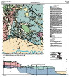 | Geologic Map of the Butlers Bay Quadrangle, Berkeley, Clarendon, and Williamsburg Counties, South Carolina 1:24,000 (2010) by Ralph H. Willoughby and Will R. Doar, III | 2010 | 33x36 | 15.00 |
| Open-File Report (OFR) | OFR-168 | 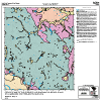 | Geologic Map of the Greeleyville Quadrangle, Berkeley and Williamsburg Counties, South Carolina 1:24,000 (2010) by Will R. Doar, III | 2010 | 28x28 | 15.00 |
| Open-File Report (OFR) | OFR-169 | 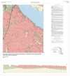 | Geologic Map of the Vance Quadrangle, Clarendon and Orangeburg Counties, South Carolina 1:24,000 (2010) by Will R. Doar, III | 2010 | 33x33 | 15.00 |
| Open-File Report (OFR) | OFR-170 |  | Geologic Map of the Eutawville Quadrangle, Clarendon, and Orangeburg Counties, South Carolina 1:24,000 (2010) by Will R. Doar, III | 2010 | 33x32 | 15.00 |
| Open-File Report (OFR) | OFR-171 | 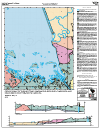 | Geologic Map of the Eadytown Quadrangle, Berkeley, Clarendon, and Orangeburg Counties, South Carolina 1:24,000 (2010) by Will R. Doar, III | 2010 | 28x36 | 15.00 |
| Open-File Report (OFR) | OFR-172 |  | Geologic Map of the Pineville Quadrangle, Berkeley, Clarendon, and Williamsburg Counties, South Carolina 1:24,000 (2010) by Ralph H. Willoughby and Will R. Doar, III | 2010 | 28x28 | 15.00 |
| Open-File Report (OFR) | OFR-173 |  | Geologic Map of the St. Stephens Quadrangle, Berkeley and Williamsburg Counties, South Carolina 1:24,000 (2010) by Will R. Doar, III | 2010 | 28x28 | 15.00 |
| Open-File Report (OFR) | OFR-174 | 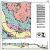 | Geologic Map of the Holly Hill Quadrangle Dorchester and Orangeburg Counties, South Carolina 1:24,000 (2010) by Will R. Doar, III | 2010 | 33x33 | 15.00 |
| Open-File Report (OFR) | OFR-175 | 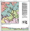 | Geologic Map of the Sandridge Quadrangle, Berkeley, Dorchester, and Orangeburg Counties, South Carolina 1:24,000 (2010) by Will R. Doar, III | 2010 | 33x33 | 15.00 |
| Open-File Report (OFR) | OFR-176 | 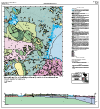 | Geologic Map of the Cross Quadrangle, Berkeley and Orangeburg Counties, South Carolina 1:24,000 (2010) by Will R. Doar, III | 2010 | 33x36 | 15.00 |
| Open-File Report (OFR) | OFR-177 | 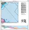 | Geologic Map of the Chicora Quadrangle, Berkeley County, South Carolina 1:24,000 (2010) by Will R. Doar, III | 2010 | 33x33 | 15.00 |
| Open-File Report (OFR) | OFR-178 | 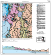 | Geologic Map of the Bonneau Quadrangle, Berkeley County, South Carolina 1:24,000 (2010) by C.W. Clendenin, Jr, Will R. Doar, III and Ralph H. Wiloughby | 2010 | 33x36 | 15.00 |
| Open-File Report (OFR) | OFR-179 | 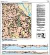 | Geologic Map of the Alvin Quadrangle, Berkeley and Williamsburg Counties, South Carolina 1:24,000 (2010) by Will R. Doar, III | 2010 | 33x36 | 15.00 |
| Open-File Report (OFR) | OFR-180 | 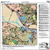 | Geologic Map of the Jamestown Quadrangle, Berkeley, Georgetown, and Williamsburg Counties, South Carolina 1:24,000 (2010) by C.W. Clendenin, Jr. and Will R. Doar, III | 2010 | 28x28 | 15.00 |
| Open-File Report (OFR) | OFR-181 | 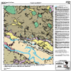 | Geologic Map of the Cedar Creek Quadrangle, Berkeley and Georgetown Counties, South Carolina 1:24,000 (2010) by Will R. Doar, III | 2010 | 28x28 | 15.00 |
| Open-File Report (OFR) | OFR-182 |  | Geologic Map of the Kilsock Bay Quadrangle, Georgetown County, South Carolina 1:24,000 (2011) by Will R. Doar, III | 2011 | 33x30 | 15.00 |
| Open-File Report (OFR) | OFR-183 |  | Geologic Map of the North Island Quadrangle, Georgetown County, South Carolina 1:24,000 (2012) by Will R. Doar, III | 2012 | 28x28 | 15.00 |
| Open-File Report (OFR) | OFR-184 |  | Geologic Map of the Waverly Mills Quadrangle, Georgetown County, South Carolina 1:24,000 (2012) by Will R. Doar, III | 2012 | 29x29 | 15.00 |
| Open-File Report (OFR) | OFR-185 |  | Geologic Map of the Magnolia Beach Quadranlge, Georgetown County, South Carolina 1:24,000 (2012) by Will R. Doar, III | 2012 | 29x29 | 15.00 |
| Open-File Report (OFR) | OFR-186 |  | Geologic Map of the Summerville NW Quadrangle, Berkeley County, South Carolina 1:24,000 (2010) by Will R. Doar, III | 2010 | 28x28 | 15.00 |
| Open-File Report (OFR) | OFR-187 |  | Geologic Map of the Moncks Corner Quadrangle, Berkeley County, South Carolina 1:24,000 (2010) by Will R. Doar, III | 2010 | 28x28 | 15.00 |
| Open-File Report (OFR) | OFR-188 |  | Geologic Map of the Cordesville Quadrangle, Berkeley County, South Carolina 1:24,000 (2010) by Will R. Doar, III | 2010 | 28x28 | 15.00 |
| Open-File Report (OFR) | OFR-189 |  | Geologic Map of the Santee Point Quadrangle, Georgetown County, South Carolina 1:24,000 (2012) by Will R. Doar, III | 2012 | 28x31 | 15.00 |
| Open-File Report (OFR) | OFR-190 |  | Geologic Map of the Barnwell Quadrangle, Barnwell County, South Carolina 1:24,000 (2009) by Will R. Doar, III | 2009 | 28x32 | 15.00 |
| Open-File Report (OFR) | OFR-191 | 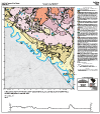 | Geologic Map of the Millett Quadrangle, Allendale and Barnwell Counties, South Carolina 1:24,000 (2010) by Will R. Doar, III | 2010 | 28x32 | 15.00 |
| Open-File Report (OFR) | OFR-192 | 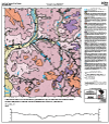 | Geologic Map of the Martin Quadrangle, Allendale and Barnwell Counties, South Carolina 1:24,000 (2009) by Will R. Doar, III | 2009 | 28x32 | 15.00 |
| Open-File Report (OFR) | OFR-193 | 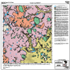 | Geologic Map of the Allendale Quadrangle, Allendale and Barnwell Counties, South Carolina 1:24,000 (2010) by Will R. Doar, III | 2010 | 28x28 | 15.00 |
| Open-File Report (OFR) | OFR-194 |  | Geologic Map of the Burtons Ferry Landing Quadrangle, Allendale County, South Carolina 1:24,000 (2010) by Will R. Doar, III | 2010 | 28x28 | 15.00 |
| Open-File Report (OFR) | OFR-195 |  | Geologic Map of the Bull Pond Quadrangle, Allendale County, South Carolina 1:24,000 (2010) by Will R. Doar, III | 2010 | 28x28 | 15.00 |
| Open-File Report (OFR) | OFR-196 |  | Geologic Map of the Barton Quadrangle, Allendale and Hampton Counties, South Carolina 1:24,000 (2010) by Will R. Doar, III | 2010 | 28x28 | 15.00 |
| Open-File Report (OFR) | OFR-197 |  | Geologic Map of the Solomons Crossroads Quadrangle, Allendale and Hampton Counties, South Carolina 1:24,000 (2011) by Will R. Doar, III | 2011 | 33x33 | 15.00 |
| Open-File Report (OFR) | OFR-198 |  | Geologic Map of the Gifford Quadrangle, Hampton County, South Carolina 1:24,000 (2011) by Will R. Doar, III | 2011 | 33x33 | 15.00 |
| Open-File Report (OFR) | OFR-199 |  | Geologic Map of the Blue Springs Landing Quadrangle, Allendale and Hampton Counties, South Carolina 1:24,000 (2012) by Will R. Doar, III | 2012 | 29x29 | 15.00 |
| Open-File Report (OFR) | OFR-200 |  | Geologic Map of the Shirley Quadrangle, Hampton County, South Carolina 1:24,000 (2012) by Will R. Doar, III | 2012 | 29x29 | 15.00 |
| Open-File Report (OFR) | OFR-201 |  | Geologic Map of the Furman Quadrangle, Hampton and Jasper Counties, South Carolina 1:24,000 (2012) by Will R. Doar, III | 2012 | 29x29 | 15.00 |
| Open-File Report (OFR) | OFR-202 |  | Geologic Map of the Rockville Quadrangle, Charleston County, South Carolina 1:24,000 (2006) by Will R. Doar, III | 2006 | 28x36 | 15.00 |
| Open-File Report (OFR) | OFR-203 |  | Geologic Map of the Hardeeville NW Quadrangle, Jasper County, South Carolina 1:24,000 (2008) by Will R. Doar, III | 2008 | 28x28 | 15.00 |
| Open-File Report (OFR) | OFR-204 |  | Geologic Map of the Tillman Quadrangle, Jasper County, South Carolina 1:24,000 (2008) by Will R. Doar, III | 2008 | 28x28 | 15.00 |
| Open-File Report (OFR) | OFR-205 |  | Geologic Map of the Ridgeland Quadrangle, Jasper County, South Carolina 1:24,000 (2008) by Will R. Doar, III | 2008 | 33x36 | 15.00 |
| Open-File Report (OFR) | OFR-206 |  | Geologic Map of the Laurel Bay Quadrangle, Beaufort and Jasper Counties, South Carolina 1:24,000 (2008) by Will R. Doar, III | 2008 | 28x28 | 15.00 |
| Open-File Report (OFR) | OFR-207 |  | Geologic Map of the Georgetown North Quadrangle, Georgetown County, South Carolina 1:24,000 (2014) by Will R. Doar, III | 2014 | 29x29 | 15.00 |
| Open-File Report (OFR) | OFR-208 |  | Geologic Map of the Bucksville Quadrangle, Horry County, South Carolina 1:24,000 (2014) by Will R. Doar, III | 2014 | 29x34 | 15.00 |
| Open-File Report (OFR) | OFR-209 |  | Geologic Map of the Myrtle Beach Quadrangle, Horry County, South Carolina 1:24,000 (2014) by Will R. Doar, III | 2014 | 29x34 | 15.00 |
| Open-File Report (OFR) | OFR-210 |  | Geologic Map of the Ocean Forest Quadrangle, Horry County, South Carolina 1:24,000 (2014) by Will R. Doar, III | 2014 | 28x28 | 15.00 |
| Open-File Report (OFR) | OFR-211 |  | Geologic Map of the St. Matthews Quadrangle, Calhoun County, South Carolina 1:24,000 (2014) by Will R. Doar, III | 2014 | 28x30 | 15.00 |
| Open-File Report (OFR) | OFR-212 |  | Geologic Map of the Cameron Quadrangle, Calhoun and Orangeburg Counties, South Carolina 1:24,000 (2014) by Will R. Doar, III | 2014 | 28x30 | 15.00 |
| Open-File Report (OFR) | OFR-213 |  | Geologic Map of the Orangeburg North Quadrangle, Calhoun and Orangeburg Counties, South Carolina 1:24,000 (2014) by C.W. Clendenin, Jr, Will R. Doar, III and Gered Lennon | 2014 | 28x28 | 15.00 |
| Open-File Report (OFR) | OFR-214 |  | Geologic Map of the Hand Quadrangle, Horry County, South Carolina 1:24,000 (2015) by Will R. Doar, III | 2015 | 34x36 | 15.00 |
| Open-File Report (OFR) | OFR-215 |  | Geologic Map of the Wampee Quadrangle, Horry County, South Carolina 1:24,000 (2015) by Will R. Doar, III | 2015 | 34x36 | 15.00 |
| Open-File Report (OFR) | OFR-216 |  | Geologic Map of the Little River Quadrangle, Horry County, South Carolina 1:24,000 (2015) by Will R. Doar, III | 2015 | 34x36 | 15.00 |
| Open-File Report (OFR) | OFR-217 |  | Geologic Map of the Privateer Quadrangle, Clarendon and Sumter Counties, South Carolina 1:24,000 (2015) by Will R. Doar, III | 2015 | 34x36 | 15.00 |
| Open-File Report (OFR) | OFR-218 |  | Geologic Map of the Pireway Quadrangle, Horry County, South Carolina 1:24,000 (2016) by Will R. Doar, III | 2016 | 30x30 | 15.00 |
| Open-File Report (OFR) | OFR-219 | 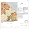 | Geologic Map of the Longs Quadrangle, Horry County, South Carolina 1:24,000 (2016) by Will R. Doar, III | 2016 | 34x35 | 15.00 |
| Open-File Report (OFR) | OFR-220 |  | Geologic Map of the Calabash Quadrangle, Horry County, South Carolina 1:24,000 (2016) by C.W. Clendenin, Jr, Will R. Doar, III and Gered Lennon | 2016 | 34x30 | 15.00 |
| Open-File Report (OFR) | OFR-221 | 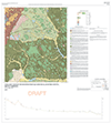 | Geologic Map of the Sumter West Quadrangle, Sumter County, South Carolina 1:24,000 (2016) by C.W. Clendenin, Jr, Will R. Doar, III and Gered Lennon | 2016 | 34x38 | 15.00 |
| Open-File Report (OFR) | OFR-222 | 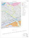 | Geologic Map of the Richtex Quadrangle, Richland and Fairfield Counties, South Carolina 1:24,000 (2016) by D.T. Secor, Jr. and C. Scott Howard | 2016 | 34x38 | 15.00 |
| Open-File Report (OFR) | OFR-223 | 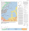 | Geologic Map of the Irmo Northeast Quadrangle, Richland and Fairfield Counties, South Carolina 1:24,000 (2016) by D.T. Secor Jr. and C. Scott Howard | 2016 | 35x36 | 15.00 |
| Open-File Report (OFR) | OFR-224 | 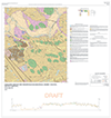 | Geologic Map of the Nixonville Quadrangle, Horry County, South Carolina 1:24,000 (2017) by Will R. Doar, III | 2017 | 34x36 | 15.00 |
| Open-File Report (OFR) | OFR-225 | 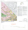 | Geologic Map of the Goretown Quadrangle, Horry County, South Carolina 1:24,000 (2017) by Will R. Doar, III | 2017 | 34x36 | 15.00 |
| Open-File Report (OFR) | OFR-226 | 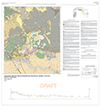 | Geologic Map of the Hammond Quadrangle, Horry County, South Carolina 1:24,000 (2017) by Will R. Doar, III | 2017 | 34x36 | 15.00 |
| Open-File Report (OFR) | OFR-227 | 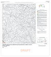 | Geologic Map of the Tabor City East Quadrangle, Horry County, South Carolina 1:24,000 (2017) by Will R. Doar, III | 2017 | 30x33 | 15.00 |
| Open-File Report (OFR) | OFR-228 | 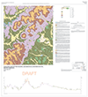 | Geologic Map of the Dalzell Quadrangle, Sumter and Lee Counties, South Carolina 1:24,000 (2017) by Will R. Doar, III | 2017 | 34x38 | 15.00 |
| Open-File Report (OFR) | OFR-229 | 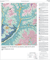 | Geologic Map of the Graniteville Quadrangle, Aiken County, South Carolina 1:24,000 (2007) by Ralph H. Willoughby and C.S. Howard | 2007 | 27x33 | 15.00 |
| Open-File Report (OFR) | OFR-230 | 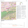 | Geologic Map of the Adrian Quadrangle, Horry County, South Carolina 1:24,000 (2018) by Will R. Doar, III | 2018 | 36x36 | 15.00 |
| Open-File Report (OFR) | OFR-231 | 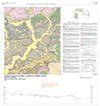 | Geologic Map of the Shell Quadrangle, Horry County, South Carolina 1:24,000 (2018) by Will R. Doar, III and C. Andrew Wykel | 2018 | 34x36 | 15.00 |
| Open-File Report (OFR) | OFR-232 |  | Geologic Map of the Loris Quadrangle, Horry County, South Carolina 1:24,000 (2018) by Will R. Doar, III and C. Andrew Wykel | 2018 | 34x36 | 15.00 |
| Open-File Report (OFR) | OFR-233 |  | Geologic Map of the Tabor City West Quadrangle, Horry County, South Carolina 1:24,000 (2018) by Will R. Doar, III and C. Andrew Wykel | 2018 | 27x33 | 15.00 |
| Open-File Report (OFR) | OFR-234 |  | Geologic Map of the Saluda South Quadrangle, Saluda and Edgefield Counties, South Carolina 1:24,000 (2018) by Robert H. Morrow, IV | 2018 | 27x33 | 15.00 |
| Open-File Report (OFR) | OFR-235 | 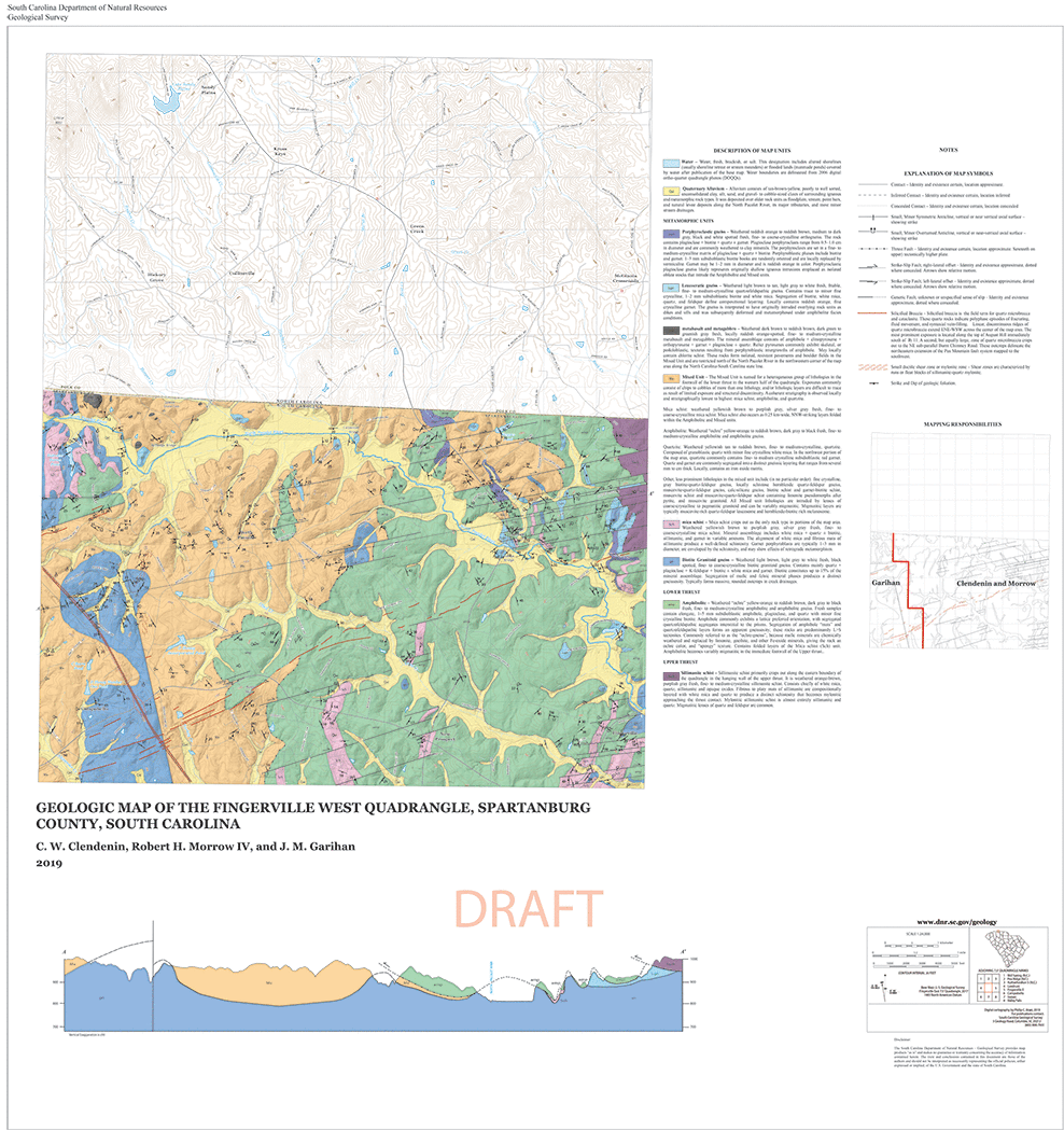 | Geologic Map of the Fingerville West Quadrangle, Spartanburg County, South Carolina 1:24,000 (2019) by C. W. Clendenin, Robert H. Morrow IV, and J. M. Garihan | 2019 | 34x36 | 15.00 |
| Open-File Report (OFR) | OFR-236 | 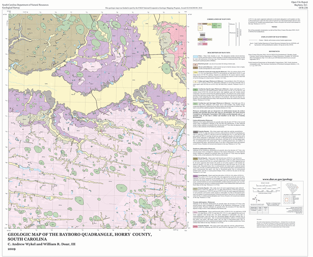 | Geologic Map of the Bayboro Quadrangle, Horry County, South Carolina 1:24,000 (2019) by C. Andrew Wykel and William R. Doar, III | 2019 | 36x29 | 15.00 |
| Open-File Report (OFR) | OFR-237 | 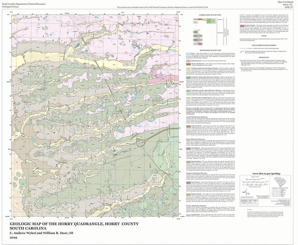 | Geologic Map of the Horry Quadrangle, Horry County, South Carolina 1:24,000 (2019) by C. Andrew Wykel and William R. Doar, III | 2019 | 35x29 | 15.00 |
| Open-File Report (OFR) | OFR-238 | 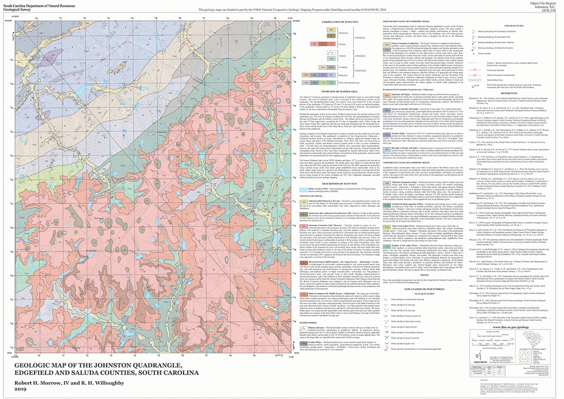 | Geologic Map of the Johnston Quadrangle, Edgefield County, South Carolina 1:24,000 (2019) by Robert H. Morrow, IV and R. H. Willoughby | 2019 | 41x29 | 15.00 |
| Open-File Report (OFR) | OFR-239 | 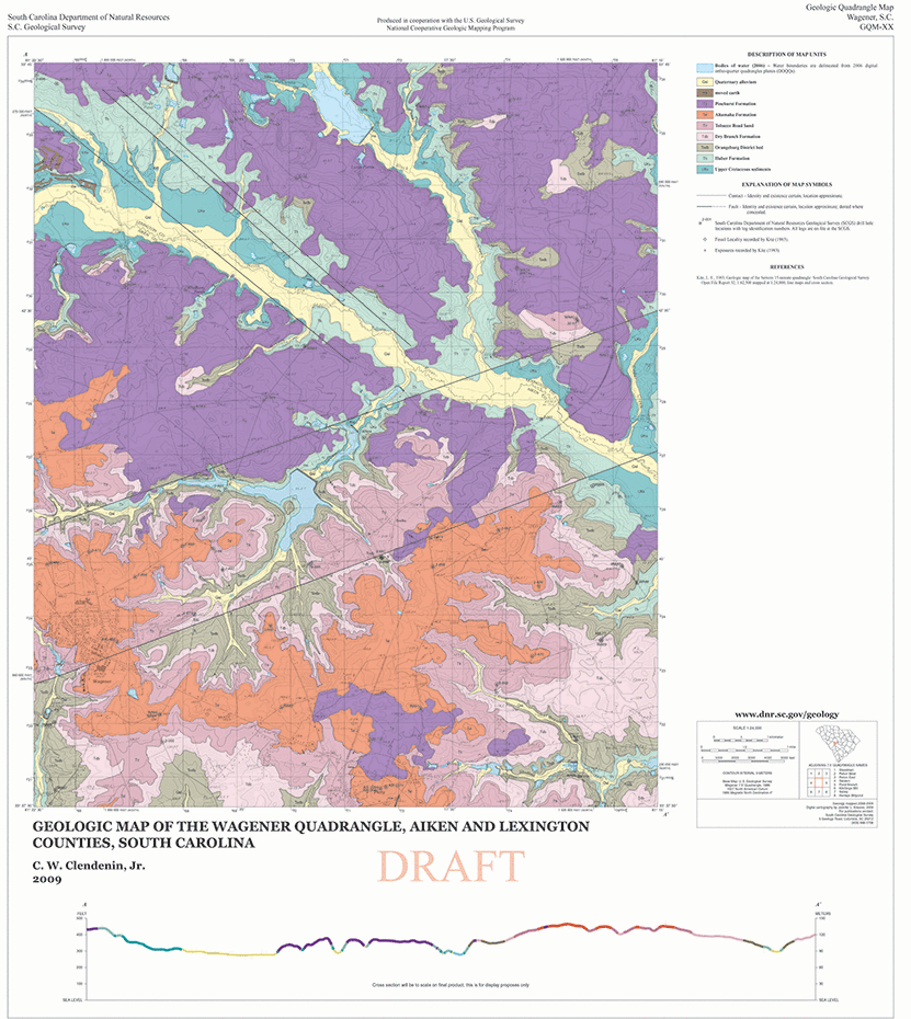 | Geologic Map of the Wagener Quadrangle, Aiken and Lexington Counties, South Carolina 1:24,000 (2009) by C. W. Clendenin, Jr. | 2009 | 28x32 | 15.00 |
| Open-File Report (OFR) | OFR-256 |  | Geologic Map of the Wolfton Quadrangle, Calhoun and Orangeburg Counties, South Carolina 1:24,000 (2022) by C. Andrew Wykel and R. Zach Zelaya | 2022 | 28x31 | 15.00 |
| Open-File Report (OFR) | OFR-255 |  | Geologic Map of the North Quadrangle, Orangeburg County, South Carolina 1:24,000 (2022) by C. Andrew Wykel and R. Zach Zelaya | 2022 | 28x30 | 15.00 |
| Open-File Report (OFR) | OFR-254 | 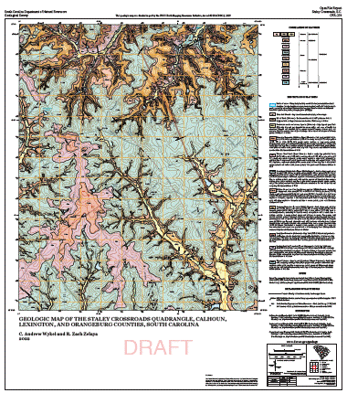 | Geologic Map of the Staley Crossroads Quadrangle, Calhoun, Lexington, and Orangeburg Counties, South Carolina 1:24,000 (2022) by C. Andrew Wykel and R. Zach Zelaya | 2022 | 28x31 | 15.00 |
| Open-File Report (OFR) | OFR-253 | 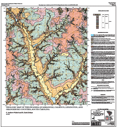 | Geologic Map of the Swansea Quadrangle, Calhoun, Lexington, and Orangeburg Counties, South Carolina 1:24,000 (2022) by C. Andrew Wykel and R. Zach Zelaya | 2022 | 28x30 | 15.00 |
| Open-File Report (OFR) | OFR-252 | 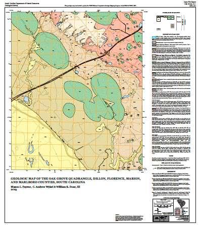 | Geologic Map of the Oak Grove Quadrangle, Dillon, Florence, Marion, and Marlboro Counties, South Carolina 1:24,000 (2023) by Mason L. Payeur, C. Andrew Wykel & William R. Doar, III | 2023 | 30x33 | 15.00 |
| Open-File Report (OFR) | OFR-251 | 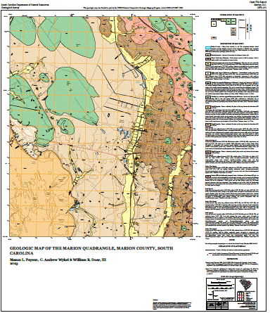 | Geologic Map of the Marion Quadrangle, Marion County, South Carolina 1:24,000 (2023) by Mason L. Payeur, C. Andrew Wykel & William R. Doar, III | 2023 | 30x33 | 15.00 |
| Open-File Report (OFR) | OFR-250 | 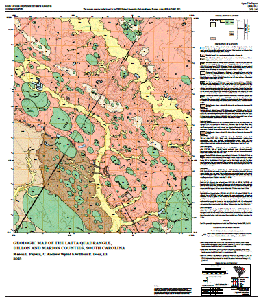 | Geologic Map of the Latta Quadrangle, Dillon and Marion Counties, South Carolina 1:24,000 (2023) by Mason L. Payeur, C. Andrew Wykel & William R. Doar, III | 2023 | 29x32 | 15.00 |
| Open-File Report (OFR) | OFR-249 | 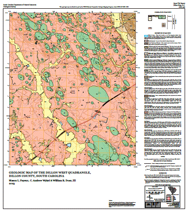 | Geologic Map of the Dillon West Quadrangle, Dillon County, South Carolina 1:24,000 (2023) by Mason L. Payeur, C. Andrew Wykel & William R. Doar, III | 2023 | 30x32 | 15.00 |
| Open-File Report (OFR) | OFR-247 | 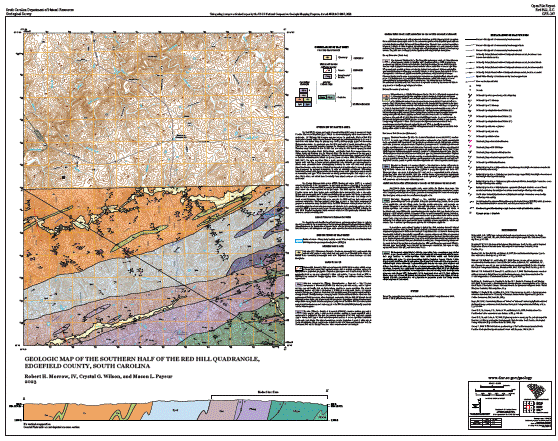 | Geologic Map of the Southern Half of the Red Hill Quadrangle, Edgefield County, South Carolina 1:24,000 (2023) by Robert H. Morrow, IV, Crystal G. Wilson, and Mason L. Payeur | 2023 | 41x33 | 15.00 |
| Open-File Report (OFR) | OFR-246 | 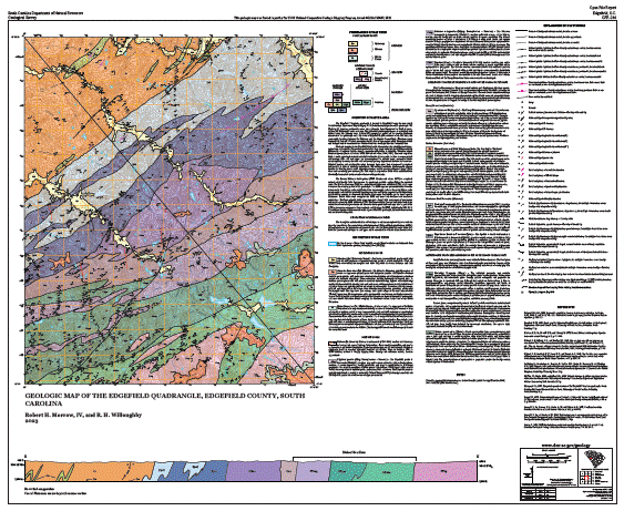 | Geologic Map of the Edgefield Quadrangle, Edgefield County, South Carolina 1:24,000 (2023) by Robert H. Morrow, IV, and R. H. Willoughby | 2023 | 42x34 | 15.00 |
| Open-File Report (OFR) | OFR-257 | 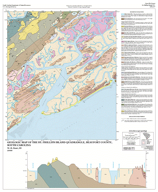 | Geologic Map of the St. Phillips Island Quadrangle, Beaufort County, South Carolina 1:24,000 (2000) by William R. Doar, III | 2000 | 30x36 | 15.00 |
| Open-File Report (OFR) | OFR-258 | 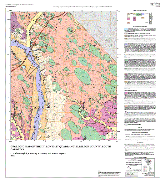 | Geologic Map of the Dillon East Quadrangle, Dillon County, South Carolina 1:24,000 (2024) by C. Andrew Wykel, Courtney N. Pierce, and Mason L. Payeur | 2024 | 30x32 | 15.00 |
| Open-File Report (OFR) | OFR-259 | 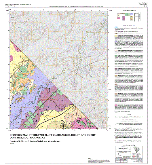 | Geologic Map of the Fair Bluff Quadrangle, Dillon and Horry Counties, South Carolina 1:24,000 (2024) by Courtney N. Pierce, C. Andrew Wykel, and Mason L. Payeur | 2024 | 30x32 | 15.00 |
| Open-File Report (OFR) | OFR-260 | 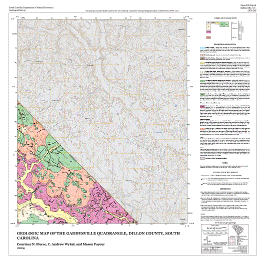 | Geologic Map of the Gaddysville Quadrangle, Dillon County, South Carolina 1:24,000 (2024) by Courtney N. Pierce, C. Andrew Wykel, and Mason L. Payeur | 2024 | 30x29 | 15.00 |
| Open-File Report (OFR) | OFR-261 | 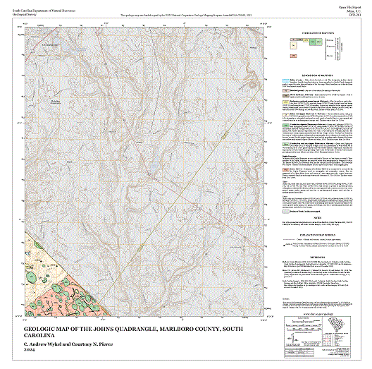 | Geologic Map of the Johns Quadrangle, Marlboro County, South Carolina 1:24,000 (2024) by C. Andrew Wykel and Courtney N. Pierce | 2024 | 30x30 | 15.00 |
| Open-File Report (OFR) | OFR-262 | 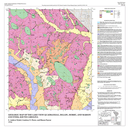 | Geologic Map of the Lake View Quadrangle, Dillon, Horry, and Marion Counties, South Carolina 1:24,000 (2024) by C. Andrew Wykel, Courtney N. Pierce, and Mason L. Payeur | 2024 | 30x30 | 15.00 |
| Open-File Report (OFR) | OFR-263 | 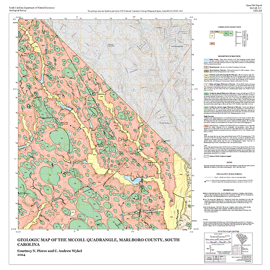 | Geologic Map of the McColl Quadrangle, Marlboro County, South Carolina 1:24,000 (2024) by Courtney N. Pierce and C. Andrew Wykel | 2024 | 30x30 | 15.00 |
| Open-File Report (OFR) | OFR-264 | 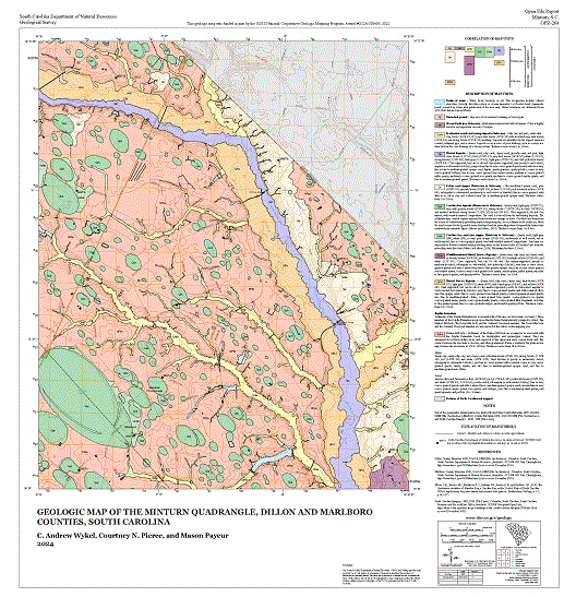 | Geologic Map of the Minturn Quadrangle, Dillon and Marlboro Counties, South Carolina 1:24,000 (2024) by C. Andrew Wykel, and Courtney N. Pierce, and Mason L. Payeur | 2024 | 30x30 | 15.00 |
| Open-File Report (OFR) | OFR-265 | 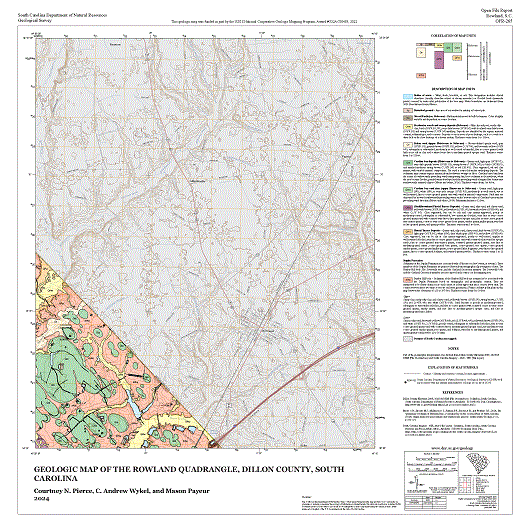 | Geologic Map of the Rowland Quadrangle, Dillon County, South Carolina 1:24,000 (2024) by Courtney N. Pierce, C. Andrew Wykel, and Mason L. Payeur | 2024 | 30x30 | 15.00 |
| Open-File Report (OFR) | OFR-266 | 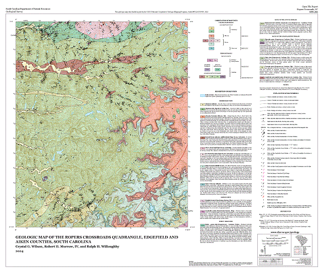 | Geologic Map of the Ropers Crossroads Quadrangle, Edgefield and Aiken Counties, South Carolina 1:24,000 (2023) by Crystal G. Wilson, Robert H. Morrow, IV, and R. H. Willoughby | 2024 | 36x30 | 15.00 |
| Open-File Report (OFR) | OFR-245 |  | Geologic Map of the Brier Creek Landing Quadrangle, Allendale and Hampton Counties, South Carolina 1:24,000 (2011) by W. R. Doar, III | 2011 | 28x32 | 15.00 |
| Open-File Report (OFR) | OFR-244 |  | Geologic Map of the Fork Quadrangle, Marion and Dillon Counties, South Carolina 1:24,000 (2021) by C. Andrew Wykel and Kyle T. Gawinski | 2021 | 37x29 | 15.00 |
| Open-File Report (OFR) | OFR-243 |  | Geologic Map of the Mullins Quadrangle, Marion County, South Carolina 1:24,000 (2021) by C. Andrew Wykel and William R. Doar, III | 2021 | 37x29 | 15.00 |
| Open-File Report (OFR) | OFR-240 | 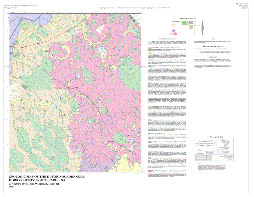 | Geologic Map of the Duford Quadrangle, Horry County, South Carolina 1:24,000 (2021) by C. Andrew Wykel and William R. Doar, III | 2021 | 37x29 | 15.00 |
| Open-File Report (OFR) | OFR-242 |  | Geologic Map of the Galivant's Ferry Quadrangle, Horry County, South Carolina 1:24,000 (2021) by Kyle T. Gawinski and William R. Doar, III | 2021 | 37x29 | 15.00 |
| Open-File Report (OFR) | OFR-243 |  | Geologic Map of the Mullins Quadrangle, Marion County, South Carolina 1:24,000 (2021) by C. Andrew Wykel and William R. Doar, III | 2021 | 37x29 | 15.00 |
| Open-File Report (OFR) | OFR-241 |  | Geologic Map of the Nichols Quadrangle, Horry and Marion Counties, South Carolina 1:24,000 (2021) by C. Andrew Wykel and William R. Doar, III | 2021 | 37x29 | 15.00 |
| Open-File Poster (OFP) | OFP-01-04 |  | Geology and the Wadakoe Mountain Area in Sunset 7.5-minute quadrangle, Pickens County, South Carolina. 1:24,000 (2004) by C. Scott Howard and Erin E. Hudson, Geology by J. M. Garihan | 2004 | 36x50 | 8.00 |
| Open-File Poster (OFP) | OFP-02-04 |  | Geology of the ACE Basin, Beaufort, Charleston, and Colleton Counties, South Carolina. This Open-File Poster is a compilation of Dale, Wiggins, Bennetts Point, Edisto Island, Beaufort, Frogmore, St. Helena Sound, Edisto Beach, Parris Island, St. Phillips Island, and Fripps Inlet 7.5-minute quadrangles at 1:62,500 (2004) Geology by W. R. Doar, III., Digital compilation and Cartography by Erin E. Hudson and Malynn D. Fields, with contributions by C.S. Howard and C.W. Clendenin, Out-of-Print, please see OFR-150 | 2004 | ||
| Open-File Poster (OFP) | OFP-03-09 |  | Geology of the Jocassee Gorges, Mountain Bridge Area, and Northwestern South Carolina in Greenville, Oconee, and Pickens Counties, South Carolina. 1:50,000 (2009) by John M. Garihan, C. W. Clendenin, and W. A. Ranson. Digital Map Compilation by Jennifer Krauser and Layout and Graphics by Erin E. Koch | 2009 | 36x72 | 24.00 |
| Open-File Poster (OFP) | OFP-04-10 |  | Geology of the Lake Marion and Lake Moultrie Area, Berkeley, Calhoun, Clarendon, Dorchester, Orangeburg, Richland, Sumter, and Williamsburg Counties, South Carolina. 1:75,000 (2010) Geology compiled from original maps by by Ralph H. Willoughby, W. R. Doar, III, and C. W. Clendenin, Jr. Digital Compilation by Erin E. Koch and Jennifer Krauser. Layout and Graphics by Erin E. Koch. | 2010 | 42x60 | 24.00 |
| Circular (C) | Circular 1 | Catalog of Geologic Publications (2013). This web-page is the most up-to-date listing of publications and prices available. | 2013 | |||
| Circular (C) | Circular 2 | Catalog of South Carolina Mineral Producers (1987-1988) | 1988 | |||
| Circular (C) | Circular 3 | Index, surficial geologic mapping 1856-1984, Geologic mapping in graduate theses and geologic field trip guidebooks in South Carolina, compiled by L.E. Kite. | 1984 | 4.00 | ||
| Circular (C) | Circular 3 Supplement | Geologic map index 1984-1989, compiled by L.K. Price. | 1989 | 2.00 | ||
| Bulletin (B) | Bulletin 1 | A preliminary report on the clays of South Carolina by Earle Sloan (1904). | 1904 | |||
| Bulletin (B) | Bulletin 2 | Catalog of the mineral localities of South Carolina by Earle Sloan (1908) reprinted (1979). Out of print. | 1908 | |||
| Bulletin (B) | Bulletin 15 | Ground-water investigations in South Carolina by G. E. Siple (1946). | 1946 | |||
| Bulletin (B) | Bulletin 16 | Chemical character of the surface waters of South Carolina 1945-47 by W. L. Lamar (1948). | 1948 | |||
| Bulletin (B) | Bulletin 16A | Chemical character of the surface waters of South Carolina 1945-50 by F. H. Pacszek (1951). | 1951 | |||
| Bulletin (B) | Bulletin 16B | Chemical character of the surface waters of SC 1945-55 by G.A. Billingsley (1956). | 1956 | |||
| Bulletin (B) | Bulletin 16C | Chemical character of the surface waters of South Carolina 1945-60 by K.F. Harris (1962). | 1962 | |||
| Bulletin (B) | Bulletin 17 | Surface water supply of South Carolina (1948). | 1948 | |||
| Bulletin (B) | Bulletin 18 | Geology and preliminary ore dressing studies of the Carolina barite belt by E. C. Van Horn, J. R. LeGrand, L. L. McMurray (1949). | 1949 | |||
| Bulletin (B) | Bulletin 19 | The distribution and properties of the shales of South Carolina by B.F. Buie and G.C. Robinson (1949). | 1949 | 2.00 | ||
| Bulletin (B) | Bulletin 20 | South Carolina raw materials for light-colored face brick by G.C. Robinson (1949). | 1949 | 2.00 | ||
| Bulletin (B) | Bulletin 23 | Silica for glass manufacture in South Carolina by B.F. Buie and G.C. Robinson (1958). | 1958 | 2.00 | ||
| Bulletin (B) | Bulletin 24 | Guidebook for the South Carolina Coastal Plain field trip of the Carolina Geological Society by G.E. Siple (1959). also listed as Field Trip Guidebook 2. | 1959 | 2.00 | ||
| Bulletin (B) | Bulletin 25 | Exploration Common Clays of the Coastal Plain of South Carolina, and Their Use In Structural Clay Products by G. C. Robinson, B. F. Buie, and H. S. Johnson, Jr. (1961). | 1961 | |||
| Bulletin (B) | Bulletin 26 | Exploration for heavy minerals on Hilton Head Island, South Carolina by C.K. McCauley (1960). | 1960 | 2.00 | ||
| Bulletin (B) | Bulletin 27 | Barium resources of South Carolina by C.K. McCauley (1962). | 1962 | 2.00 | ||
| Bulletin (B) | Bulletin 28 | Limestone resources of the Coastal Plain of South Carolina by S.D. Heron, Jr. (1962). | 1962 | 2.50 | ||
| Bulletin (B) | Bulletin 29 | Corundum resources of South Carolina by C.K. McCauley and J.F. McCauley (1964). | 1964 | 2.00 | ||
| Bulletin (B) | Bulletin 30 | Gem Stone resources of South Carolina by C.K. McCauley and J.F. McCauley (1964). | 1964 | |||
| Bulletin (B) | Bulletin 31 | Clays and opal-bearing claystones of the South Carolina Coastal Plain by S.D. Heron, Jr., G.C. Robinson and H.S. Johnson, Jr. (1965). | 1965 | 2.50 | ||
| Bulletin (B) | Bulletin 32 | Gold resources of South Carolina by C.K. McCauley and J.R. Butler (1966) (reprinted 1980, 1988, and 1998). | 1966 | 5.50 | ||
| Bulletin (B) | Bulletin 33 | Geology and mineral resources of York County, South Carolina by J.R. Butler; section on ground-water resources by G.E. Siple (1966). | 1966 | 3.00 | ||
| Bulletin (B) | Bulletin 34 | Geology and mineral resources of Oconee County, South Carolina by C.J. Cazeau (1967). | 1967 | 3.00 | ||
| Bulletin (B) | Bulletin 35 | Heavy minerals in South Carolina by L. Williams (1967). | 1967 | 2.00 | ||
| Bulletin (B) | Bulletin 36 | Ground-water resources of Orangeburg County, South Carolina by G.E. Siple (1975). | 1975 | 3.00 | ||
| Bulletin (B) | Bulletin 37 | Geology and kyanite resources of Little Mountain, South Carolina by J.C. McKenzie and J.F. McCauley (1968). | 1968 | 2.00 | ||
| Bulletin (B) | Bulletin 38 | Ground-water resources of Greenville County, South Carolina by N.C. Koch (1968). | 1968 | 3.00 | ||
| Bulletin (B) | Bulletin 39 | Bibliography and index of South Carolina geology through 1977 by A.-J. W. Zupan and S.N. Tahirkheli (1979). | 1979 | 7.00 | ||
| Bulletin (B) | Bulletin 40 | Earthquakes in South Carolina: 1698-1975 by T.R. Visvanathan (1980). | 1980 | 6.00 | ||
| Bulletin (B) | Bulletin 41 | First-hand observations of the Charleston earthquake of August 31, 1886 and other earthquake materials by K.E. Peters and R.H. Herrmann, cohesive-compilers. | 1986 | 13.50 | ||
| Bulletin (B) | Bulletin 42 |  | Paleozoic-Mesozoic Tectonic History of the Western Inner Piedmont Based on Superimposed Structural Relationships, South Carolina and Nearby North Carolina, Southern Appalachians by John M. Garihan. | 2018 | 10.00 | |
| Field Trip Guidebook (FTG) | Field Trip Guidebook 1 | Coastal Plain field trip, Southeastern Section Geological Society of America, April 17, 1954. | 1954 | |||
| Field Trip Guidebook (FTG) | Field Trip Guidebook 2 | Guidebook for the South Carolina Coastal Plain field trip of the Carolina Geological Society, Nov. 16-17, 1957, by G.E. Siple; Bulletin 24, Division of Geology, South Carolina State Development Board, 1959. | 1959 | 2.00 | ||
| Field Trip Guidebook (FTG) | Field Trip Guidebook 3 | Carolina Geological Society guidebook, Nov. 1-2, 1958, by L. N. Smith and H. S. Johnson, Jr., (Upper Coastal Plain exposures-Lexington, Calhoun and Orangeburg Counties), Division of Geology, South Carolina State Development Board, 1958. | 1958 | |||
| Field Trip Guidebook (FTG) | Field Trip Guidebook 4 | Carolina Geological Society guidebook, Oct. 21-22, 1961, Relationships between the Carolina slate belt and the Charlotte belt in Newberry County, South Carolina by J.F. McCauley; Fall Line stratigraphy northeast of Columbia, South Carolina by H.S. Johnson, Jr.; Geologic Notes, v. 5, no. 5, Division of Geology, South Carolina State Development Board, 1961. | 1961 | 2.00 | ||
| Field Trip Guidebook (FTG) | Field Trip Guidebook 5 | Carolina Geological Society guidebook, Oct. 26-27, 1963, Guide to the geology of Pickens and Oconee Counties, South Carolina by C. J. Cazeau and C. Q. Brown, Geologic Notes v. 7, no. 5, Division of Geology, South Carolina State Development Board, 1963. | 1963 | |||
| Field Trip Guidebook (FTG) | Field Trip Guidebook 6 | Carolina Geological Society guidebook, Oct. 23-24, 1965, Guide to the geology of York County, South Carolina by J.R. Butler; Geologic Notes, v. 9, no. 2, Division of Geology, South Carolina State Development Board, 1965. | 1965 | 2.00 | ||
| Field Trip Guidebook (FTG) | Field Trip Guidebook 7 | Atlantic Coastal Plain Geological Association field conference, 1965, Terrace sediment complexes in central South Carolina by D.J. Colquhoun; University of South Carolina. | 1965 | 4.50 | ||
| Field Trip Guidebook (FTG) | Field Trip Guidebook 8 | Carolina Geological Society guidebook, Oct. 18-20, 1968, Stratigraphy, structure and petrology of the Piedmont in central South Carolina by D.T. Secor and H.D. Wagener; Geologic Notes, v. 12, no. 4, Division of Geology, South Carolina State Development Board, 1968. | 1968 | 2.00 | ||
| Field Trip Guidebook (FTG) | Field Trip Guidebook 9 | Carolina Geological Society guidebook, Oct. 3-5, 1969, A guide to the geology of northwestern South Carolina: Migmatitic Inner Piedmont belt, northwesternmost South Carolina by V.S. Griffin, Jr.; Stratigraphy, petrology and structure of the low rank belt and part of the Blue Ridge of northwesternmost South Carolina by R.D. Hatcher, Jr.; Geologic Notes, v. 13, no. 4, Division of Geology, South Carolina State Development Board, 1969. | 1969 | 2.00 | ||
| Field Trip Guidebook (FTG) | Field Trip Guidebook 10 | Atlantic Coastal Plain Geological Association, 12th annual field conference, Oct. 23-24, 1971, Neogene stratigraphy of the lower Coastal Plain of the Carolinas by J.R. DuBar; Division of Geology, South Carolina State Development Board, 1971. | 1971 | 5.50 | ||
| Field Trip Guidebook (FTG) | Field Trip Guidebook 11 | Carolina Geological Society guidebook, 1973, Granitic plutons of the central and eastern Piedmont of South Carolina by H.D. Wagener and D.E. Howell; Division of Geology, South Carolina State Development Board, 1973. | 1973 | 2.50 | ||
| Field Trip Guidebook (FTG) | Field Trip Guidebook 12 | Carolina Geological Society guidebook, 1974, Geology of the Piedmont and Coastal Plain near Pageland, South Carolina and Wadesboro, North Carolina by Henry Bell, III, J.R. Butler, D.E. Howell and W.H. Wheeler; Division of Geology, South Carolina State Development Board, 1974. | 1974 | 2.50 | ||
| Field Trip Guidebook (FTG) | Field Trip Guidebook 13 | Atlantic Coastal Plain Geological Association guidebook Spring, 1975, Plio-Pleistocene faunas of the central Carolina Coastal Plain by L. Campbell, S. Campbell, D.J. Colquhoun, J. Ernissee and W.H. Abbott; Geologic Notes, v. 19, no. 3, Division of Geology, South Carolina State Development Board, 1975. | 1975 | 2.00 | ||
| Field Trip Guidebook (FTG) | Field Trip Guidebook 14 | Carolina Geological Society guidebook, Oct. 23-24, 1976, Introduction to the geology of the eastern Blue Ridge of the Carolinas and nearby Georgia, by R.D. Hatcher, Jr.; Division of Geology, South Carolina State Development Board, 1976. | 1976 | 3.00 | ||
| Field Trip Guidebook (FTG) | Field Trip Guidebook 15 | Carolina Geological Society guidebook, Oct. 7-8, 1978, Geological investigations of the eastern Piedmont, (with a field trip guide on the bedrock geology of central South Carolina), ed. by A.W. Snoke; South Carolina Geological Survey, South Carolina State Development Board, 1978. | 1978 | 6.50 | ||
| Field Trip Guidebook (FTG) | Field Trip Guidebook 16 | Carolina Geological Society guidebook, Oct. 24-25, 1981, Geological investigations of the Kings Mountain belt and adjacent areas in the Carolinas, ed. by J.W. Horton, Jr., J.R. Butler and D.J. Milton; South Carolina Geological Survey, 1981. | 1981 | 9.50 | ||
| Field Trip Guidebook (FTG) | Field Trip Guidebook 17 | Carolina Geological Society guidebook, Oct. 9-10, 1982, Geological investigations related to the stratigraphy in the kaolin mining district, Aiken County, South Carolina, ed. by P.G. Nystrom, Jr. and R.H. Willoughby; South Carolina Geological Survey, 1982. | 1982 | 10.00 | ||
| Field Trip Guidebook (FTG) | Field Trip Guidebook 18 | Carolina Geological Society guidebook, Oct. 11-12, 1986, Cretaceous-Tertiary stratigraphy of the upper edge of the Coastal Plain between North Augusta and Lexington, South Carolina, ed. by P.G. Nystrom, Jr., R.H. Willoughby and L.E. Kite; South Carolina Geological Survey, 1986. | 1986 | 7.50 | ||
| Field Trip Guidebook (FTG) | Field Trip Guidebook 19 | Carolina Geological Society guidebook, Nov. 14-15, 1987, Anatomy of the Alleghanian orogeny as seen from the Piedmont of South Carolina and Georgia, ed. by D.T. Secor, Jr.; South Carolina Geological Survey, 1987. | 1987 | 7.50 | ||
| Field Trip Guidebook (FTG) | Field Trip Guidebook 20 | Geological Society of America, Southeastern Section, April 4-10, 1988, Southeastern Geological Excursions, ed. by D.T. Secor, Jr.; South Carolina Geological Survey, 1988. | 1988 | 15.00 | ||
| Field Trip Guidebook (FTG) | Field Trip Guidebook 21 | South Carolina Geological Survey guidebook, June 13 and 14, 1992, Field guide to the Cretaceous and Tertiary surface stratigraphy of the Savannah River Site and vicinity, South Carolina, by P.G. Nystrom, Jr. and R.H. Willoughby. | 1992 | 5.00 | ||
| Field Trip Guidebook (FTG) | Field Trip Guidebook 22 | Carolina Geological Society guidebook, Nov. 13-15, 1992, Geological investigations of the central Savannah River area, South Carolina and Georgia, ed. by Wallace Fallaw and Van Price. | 1992 | 5.00 | ||
| Field Trip Guidebook (FTG) | Field Trip Guidebook 23 | South Carolina Geological Survey guidebook, Nov. 18 and 19, 1992, Field guide to the Cretaceous and Tertiary stratigraphy of the South Carolina Upper Coastal Plain: A two day excursion from the Savannah River to the North Carolina line, by P.G. Nystrom, Jr. and R.H. Willoughby. | 1992 | 2.50 | ||
| Field Trip Guidebook (FTG) | Field Trip Guidebook 24 | South Carolina Geological Survey guidebook, December 9, 1992, Cretaceous and Tertiary stratigraphy of the High Hills of Santee, western Sumter and Lee Counties, South Carolina, by P.G. Nystrom, Jr. and R.H. Willoughby. | 1992 | 5.00 | ||
| Field Trip Guidebook (FTG) | Field Trip Guidebook 25 | South Carolina Geological Survey guidebook, September 17, 1994, Field Guide to the Surface Stratigraphy of the Area East of the Savannah River Site: Williston, Long Branch and Snelling 7.5-Minute Quadrangles, South Carolina, by R.H. Willoughby and P.G. Nystrom,Jr. | 1994 | 5.00 | ||
| Field Trip Guidebook (FTG) | Field Trip Guidebook 26 | A Compendium of Field Trips of South Carolina Geology, with Emphasis on the Charleston, South Carolina Area. Conducted In Association with the Geological Society of America – Southeastern Section Meeting, March 23–24, 2000, Charleston, South Carolina. Guidebook 26 includes: Field Trip #1 – Macroscopic Effects of the 1886 Charleston Earthquake, by Pradeep Talwani, Field Trip #2 – Charleston Earthquake Damage Walking Tour, by William A. Smith and Marian M. Smith, Field Trip #3 – Neotectonic Features of the Lower Coastal Plain of Georgia and South Carolina, by Mervin J. Bartholomew, Fredrick J. Rich, Amy E. Whitaker, Sharon E. Lewis, Brendan M. Brodie, and Arleen A. Hill, Field Trip #4 – Newberry, South Carolina Eclogite: Structural Setting and Style of Occurrence, by Allen J. Dennis, John Shervais, and Don Secor, Field Trip #5 – Folly Beach, South Carolina: Tomorrow’s Coastal Problems, Today, by Gered Lennon, Field Trip #6 – Depositional History and Coastal Processes at Cape Romain, South Carolina, by Walter J. Sexton and Timothy W. Kana, Field Trip #7 – Paleontology and Biostratigraphy of the Coastal Plain, by David C. Campbell, M. R. Campbell, and L. D. Campbell | 2000 | 15.00 | ||
| Mineral Resources Series (MR) | Mineral Resources Series 1 | Fluvial monazite deposits in the drainage basins of the Enoree, Tyger and Pacolet rivers, South Carolina by N.P. Cuppels and A.M. White (1973). | 1973 | 2.00 | ||
| Mineral Resources Series (MR) | Mineral Resources Series 2 | Fluvial monazite deposits in the drainage basins of the Savannah and Saluda rivers, South Carolina by D.W. Caldwell and A.M. White (1973). | 1973 | 2.00 | ||
| Mineral Resources Series (MR) | Mineral Resources Series 4 | Radioactive mineral resources of South Carolina by S.D. Heron, Jr. and H.S. Johnson, Jr. (1969). | 1969 | 2.00 | ||
| Mineral Resources Series (MR) | Mineral Resources Series 5 | The granitic stone resources of South Carolina (22 maps and text) by H.D. Wagener (1977). | 1977 | 12.00 | ||
| Mineral Resources Series (MR) | Mineral Resources Series 5a | Ground-water records of South Carolina by G.W. Stock, Jr. and G.E. Siple (1969). | 1969 | 2.00 | ||
| EDMAP Series (EQM) | EQM-1 |  | Bedrock Geologic Map of the Pelzer 7.5-minute Quadrangle, Greenville and Anderson Counties, South Carolina. 1:24,000 (1997) by David R. Sieling (East Carolina University) | 1997 | 28x28 | 15.00 |
| EDMAP Series (EQM) | EQM-2 | Geologic Map of the Gaffney 7.5-minute Quadrangle, Cherokee County, South Carolina. 1:24,000 (1997) by Thomas E. West, Jr. and J. Wright Horton, Jr. Includes explanation and cross section. | 1997 | 12.00 | ||
| Miscellaneous | Proceeding | 24th Forum on the Geology of Industrial Minerals, May 2-5, 1988, Greenville, South Carolina: 19 papers and 12 abstracts, 155 pages. | 10.00 |
Descriptions of Publication Types
General Geologic Map Series (GGMS)
Maps in the General Geologic Map Series (GGMS) are published at 1:500,000-scale or smaller, and include statewide compilations of geology, geologic hazards, mineral resources, and geophysical information. All GGMS products are available for digital download, or as a poster.
General Geologic Chart (GGC)
Minerals and Rocks (MRX)
Geologic Quadrangle Map (GQM)
The Geologic Quadrangle Maps (GQM) series are 1:24,000 scale maps which were digitally produced starting in 2001. They all have detailed unit descriptions and most have one or more cross sections. More recent publications may have additional information such as photographs and illustrations. The price listed is for print-on-request product. Call about digital availability.
Map Series (MS)
Map Series publications (MS) include quadrangle maps, multiple quadrangle compilation maps, and geophysical maps. MS maps are published at the 1:24,000-scale or smaller, and may or may not include supplementary information such as cross sections, photographs or reports. MS publications prior to 2000 are available as scanned copies of the original maps and are in the process of being digitized.
Open-File Report (OFR)
The majority of geologic maps are published as Open-File Reports (OFR). These products are available as hard copies or as digital PDFs. OFRs may or may not include cross sections. Older OFR reports are photocopies of original mylar drafts. The SCGS is working diligently to digitize these older products.
Most geologic mapping for the Coastal Plain reports is supplemented by auger drilling. The drill logs are available to the public at a cost of $0.25/page for photocopies.
Open-File Poster (OFP)
Open-File Posters are publications that have additional information included with the geologic map such as, photographs, discussions, and graphics. These are all print-on-request products.
Circular (C)
The Circular series (C) are indices of geologic maps, reports, mines and other reports produced by the SCGS prior to 2013.
Bulletin (B)
The Geological Survey Bulletin Series (B) includes reports on mineral and water resources, and geologic hazards across South Carolina.
Field Trip Guidebook (FTG)
The Geological Survey publishes Field Trip Guidebooks (FTG) from field trips across the state. These field trips were led by geologists from academic institutions, private industry, and professional organizations.
Mineral Resources Series (MR)
The Mineral Resource Series (MR) features reports on specific mineral resources across the state, including: monazite, radioactive minerals, and granite and groundwater resources.
EDMAP Series (EQM)
EDMAP is the component of the National Cooperative Geologic Mapping Program (NCGMP) that trains the next generation of geologic mappers. The NCGMP allocates funds to colleges and universities in the United States and Puerto Rico through an annual competitive grant process. Every Federal dollar that is awarded is matched with university funds. Geology professors, who are skilled in geologic mapping, request EDMAP funding to support undergraduate and graduate students at their college or university in a one-year mentored geologic mapping project that focuses on a specific geographic area.
South Carolina Geology (formerly Geologic Notes)
South Carolina Geology (ISSN 0272-9873) is an annual peer-reviewed journal, with national and international circulation, published by the S.C. Geological Survey. It is dedicated to research on all aspects of geology related to the state of South Carolina.
Digital Data
These datasets were developed by the SCGS and are provided for general use. Statewide General Geology Map Data layers can be downloaded via the SC DNR GIS Clearinghouse.
Miscellaneous
Gold Information
The following are lists of SCGS and USGS publications that include information on gold. Use the search bar in the table to find more information on SCGS publications and click on the links included in the USGS publications to access pdfs.
SCGS Publications
- Bulletin 32
- Vol. 3, No. 3 (May & June 1959)
- Vol. 8, Nos. 1 & 2 (Jan. - April 1964)
- Vol. 25, No. 1 (Spring 1981)
- Vol. 35 (1992)
- OFR 26
- OFR 66
USGS Publications
- Gold occurrences in the Greenville 1° x 2° quadrangle, South Carolina, Georgia, and North Carolina (1994) by John P. D'Agostino, George T. Mason, Alan Jon W. Zupan, Arthur H. Maybin III, Jerry M. German, and Charlotte E. Abrams. U.S. Geological Survey Map MF-2215-C, 1 Sheet. (1:250,000)
- Mineral Resource Assessment of the Gold and Silver in the Greenville 1° x 2° quadrangle, South Carolina, Georgia, and North Carolina (1993) by Frank G. Lesure, Gary C. Curtin, and John P. D'Agostino. U.S. Geological Survey Map MF-2198-A, 1 Sheet. (1:250,000)
