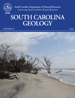
Earthquakes
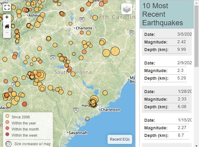
The Palmetto state has a seismic past and will, no doubt, tremble again as quakes shake the ground beneath our feet.
Recent Earthquakes
Education
The South Carolina Geological Survey developed an Earth Science Education Series that meets South Carolina Science Academic Standards set forth by the Department of Education.
South Carolina Geology
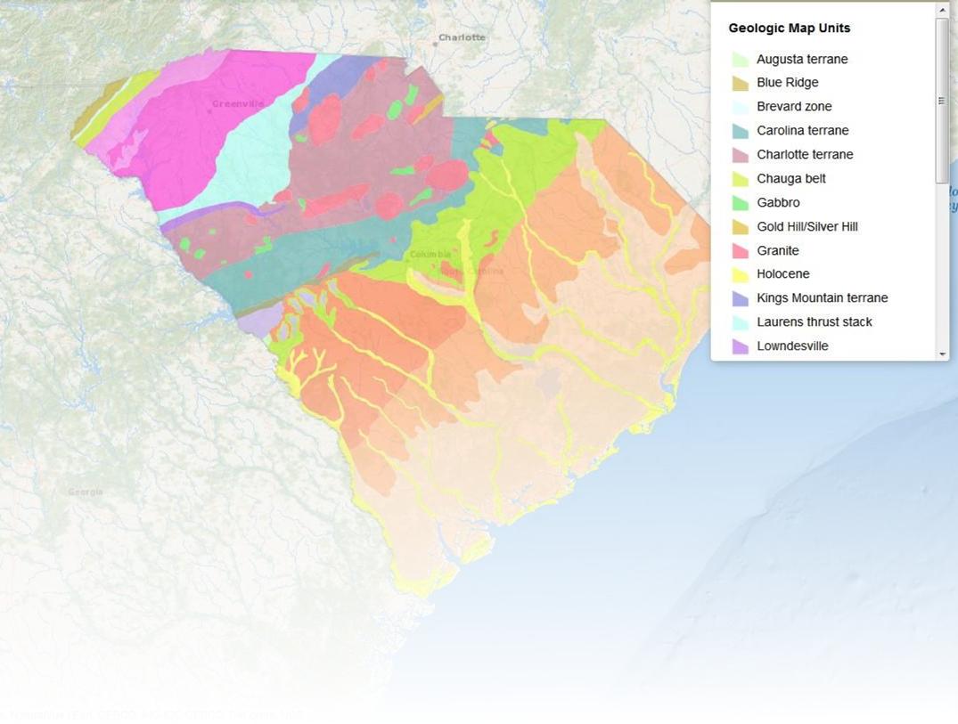
Geologic mapping in the state of South Carolina has been done at a variety of scales.
Overview of the Geology of South Carolina
Mapping Status of 1:24,000 Scale Geologic Quadrangles
Geologic mapping in the state of South Carolina has been done at a variety of scales; however, the standard scale of geologic maps produced in South Carolina is 1:24,000. The coverage status map above displays each of South Carolina's quadrangles at this scale, and their respective mapping and publication information. The coverage map also reflects the current availability of this information across the state. If you see a quadrangle that is listed as "not mapped", but are interested in whether any geologic information is available for that specific quadrangle, please contact the South Carolina Geological Survey via email morrowr@dnr.sc.gov or phone (803) 896-1214.
Quick Links
Earthquakes in South Carolina
Earthquake Notification Service
Rocks and Minerals Kit
Meteorites
Photo Galleries
Mineral Resources
Carbon Sequestration
SEGSA Presentations
Hydrology Section
South Carolina Water Plan
Flood Mitigation Program
Archived Survey News
Helpful Links
Take this brief survey to help us improve your access to geologic data and information. Your input is valuable and greatly appreciated.
