Saltwater Paddling Trail -
Georgetown to Socastee, the lower Pee Dee & Waccamaw
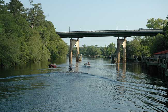
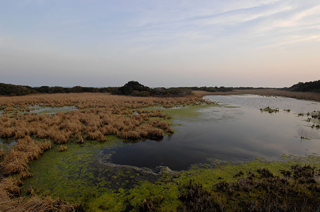
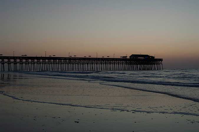
![]() This section travels along the lower reaches of the Great Pee Dee and Waccamaw Rivers, includes a portion of the Waccamaw River Blue Trail, and enters the Atlantic Intracoastal Waterway canal at Socastee. Important wildlife areas on the paddling trail include Samworth Wildlife Management Area, Sandy Island Preserve, and the expansive Waccamaw National Wildlife Refuge. Brookgreen Gardens is adjacent to the trail and features the world's largest sculpture garden. Nearby vacation and beach destinations include Pawleys Island, Litchfield Beach, Huntington Beach State Park, Murrells Inlet, and Garden City. Historic districts are found in Georgetown and Socastee.
This section travels along the lower reaches of the Great Pee Dee and Waccamaw Rivers, includes a portion of the Waccamaw River Blue Trail, and enters the Atlantic Intracoastal Waterway canal at Socastee. Important wildlife areas on the paddling trail include Samworth Wildlife Management Area, Sandy Island Preserve, and the expansive Waccamaw National Wildlife Refuge. Brookgreen Gardens is adjacent to the trail and features the world's largest sculpture garden. Nearby vacation and beach destinations include Pawleys Island, Litchfield Beach, Huntington Beach State Park, Murrells Inlet, and Garden City. Historic districts are found in Georgetown and Socastee.
Section 6 Map
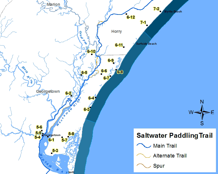
Places of Interest on the Trail
| Point No. | Name | Latitude / Longitude | County |
|---|---|---|---|
| 6-1 | Waccamaw River Blueway | 33.351169, -79.261911 | Georgetown |
| 6-2 | Samworth Wildlife Management Area | 33.462624, -79.182662 | Georgetown |
| 6-3 | Pawleys Island | 33.456556, -79.103930 | Georgetown |
| 6-4 | Litchfield Beach | 33.456556, -79.103930 | Georgetown |
| 6-5 | Waccamaw National Refuge | 33.519370, -79.149619 | Georgetown |
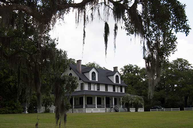
| 6-6 | Brookgreen Gardens | 33.520446, -79.083650 | Georgetown |
| 6-7 | Huntington Beach State Park | 33.514057, -79.054760 | Georgetown |
| 6-8 | Murrells Inlet | 33.531279, -79.035314 | Georgetown |
| 6-9 | Murrells Inlet Historic District | 33.549613, -79.043092 | Georgetown |
| 6-10 | Sandy Island | 33.574673, -79.114154 | Georgetown |
| 6-11 | Garden City | 33.592947, -79.008646 | Horry |
| 6-12 | Socastee | 33.683504, -78.998367 | Horry |
The Section 6 - Saltwater Paddling Trail Map above has been provided in the Adobe® Acrobat® (PDF) format. Adobe® Reader® is required to open the files and is available as a free download from the Adobe® Web site.
![]()
Photograph Gallery of Places of Interest on the Trail
Note: Select thumbnails below to view larger images.