Saltwater Paddling Trail - Charleston to McClellanville
![]() Important wildlife areas on the paddling trail include Capers Island Heritage Preserve, Francis Marion National Forest, and Cape Romain National Wildlife Refuge. Historic Cape Romain lighthouses are on Lighthouse Island. The Town of McClellanville features a historic district. Buck Hall Recreation Area is adjacent to the trail. Nearby vacation and beach destinations include the Isle of Palms.
Important wildlife areas on the paddling trail include Capers Island Heritage Preserve, Francis Marion National Forest, and Cape Romain National Wildlife Refuge. Historic Cape Romain lighthouses are on Lighthouse Island. The Town of McClellanville features a historic district. Buck Hall Recreation Area is adjacent to the trail. Nearby vacation and beach destinations include the Isle of Palms.
Section 4 Map
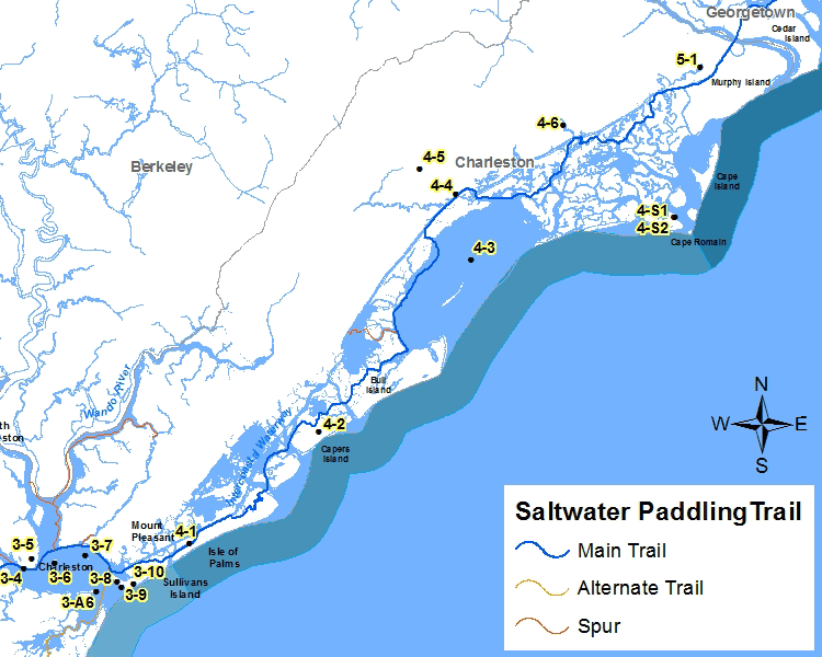
Places of Interest on the Trail
| Point No. | Name | Latitude / Longitude | County |
|---|---|---|---|
| 4-1 | Isle of Palms | 32.786842, -79.794804 | Charleston |
| 4-2 | Capers Island Heritage Preserve | 32.866977, -79.682355 | Charleston |
| 4-3 | Cape Romain National Wildlife Refuge | 32.990030, -79.549397 | Charleston |
| 4-4 | Buck Hall Recreation Area | 33.037741, -79.562181 | Charleston |
| 4-5 | Francis Marion National Forest | 33.056686, -79.592993 | Charleston |
| 4-6 | Town of McClellanville | 33.086548, -79.468200 | Charleston |
| 4-S1 | Lighthouse Island - Cape Romain Lighthouse | 33.018473, -79.374125 | Charleston |
| 4-S2 | Lighthouse Island - Raccoon Key Lighthouse | 33.018933, -79.373722 | Charleston |
The Section 4 - Saltwater Paddling Trail Map above has been provided in the Adobe® Acrobat® (PDF) format. Adobe® Reader® is required to open the files and is available as a free download from the Adobe® Web site.
![]()
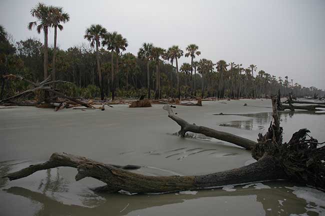
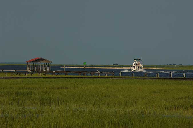
Photograph Gallery of Places of Interest on the Trail
Note: Select thumbnails below to view larger images.