Statewide Aquatic Resource Assessments by The DNR Stream Team
Gathering Information Critical to Making Good Decisions for Freshwater Resources
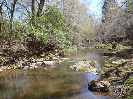
The Southeastern U.S. has suffered long-term declines in native aquatic species, primarily resulting from changes to stream habitat related to human landscape alterations. To pursue a more proactive, science-based conservation strategy, the South Carolina Department of Natural Resources (SCDNR) in conjunction with Clemson University completed a comprehensive assessment of South Carolina’s wadeable streams from 2006-2011 to determine the status of native fish assemblages and aquatic resources throughout the state. The stream assessment resulted in collection of biological, chemical, physical, and landscape-level data necessary to drive informed decision-making in our efforts to conserve our aquatic resources.
The stream data were used to develop the web-based South Carolina Stream Conservation Planning Tool, which enables a spatially explicit understanding of how human activities affect the biological condition of streams. A web mapping application allows users to visualize predicted biological conditions based on their status and severity across all South Carolina stream catchments. Additionally, an interactive catchment management tool allows users to explore and forecast the impacts of customized land management scenarios on aquatic resource indicators at any user-specified location across South Carolina. The decision tool and underlying stream data have been used extensively by DNR’s Freshwater Fisheries Section and the Office of Environmental Programs in deciding stream restoration and protection priorities, distribution and status of conservation-priority species, and to determine the most pressing conservation needs.
Currently this geographic framework, driven by current natural resource data, is being expanded to include waterways a step larger than streams: small rivers. Our Small River Assessment fits into a greater vision of aquatic conservation in South Carolina that focuses on landscapes and their drainage basins. Water, running off the land and coursing through streams and rivers, integrates landscapes due to the linear, connected nature of drainage networks. Simply put, tiny headwater streams join to form larger and larger channels, which combine to form the major rivers. Downstream habitats, including the reservoirs, estuaries, and coastal systems, are directly influenced by upstream network conditions. Our SWAP describes the environmental changes taking place across South Carolina’s freshwater landscape that negatively affect native fauna, generally involving siltation, altered hydrology, contaminants, and other forms of habitat degradation. A landscape approach allows us to proactively address cumulative impacts to ecological integrity, integrated across taxa and geography. We can address the needs of all species that depend on aquatic systems by building a true mountain-to-the-sea, headwater-to-estuary framework for addressing freshwater conservation.
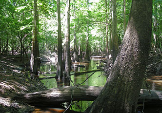
Mulyn Creek - Coastal Plain
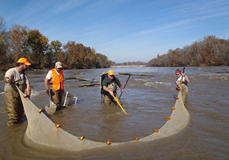
Stream assessment
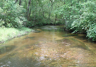
Upper three runs - Sandhills
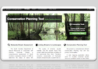
Stream conservation planning tool
Additional Information
- Life below the surface of a stream - YouTube Video
- Biodiversity on the (Blue) Line (PDF)
- Freshwater Fisheries South Carolina Stream Assessment (PDF)
