
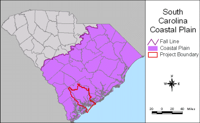
Characterization of the Ashepoo-Combahee-Edisto (ACE) Basin, South Carolina
Geology
The geologic history of the ACE Basin includes influences by a series of stratigraphic, tectonic, climatic, and oceanic events. Overall, the Piedmont basement of the coastal plain in which the ACE Basin resides has not been well studied; however, it is known that the Garner-Edisto Fault that extends from the Savannah River to at least the mouth of St. Helena Sound is seismically active (Colquhoun et al. 1983). This fault is believed to represent a suture between the Piedmont rocks of North America to the north and rocks with African affinity to the south (Chowns and Williams 1983).
The opening of the Atlantic Ocean caused igneous activity that increased over the future continental margin of South Carolina. The coastal plain of South Carolina was submerged from the late Jurassic period to the middle Eocene epoch (approximately 150-45 mya), until sea level began to fluctuate. Alternating rise and fall in sea level formed the characteristic substrate of the ACE Basin. As sea level increased, marine sediments were deposited and as sea level fell, marine, barrier, backbarrier (marsh), and fluvial sediments were deposited over the eroded remnants of the previous transgressive sequence (Colquhoun 1969; Colquhoun and Muthig 1991; Soller and Mills 1991). During protracted periods of standstill, deltaic deposition allowed the formation of secondary barrier islands (Colquhoun 1974). Subtle topographic highs and morphologic changes in rivers indicate that a northeast-trending zone of tectonic uplift exists northwest of Charleston (Marple and Talwani 1993). Regional studies indicate that this zone of uplift is approximately 200 kilometer long and 15 kilometers wide. The zone of uplift appears to have deflected the Edisto River (Doar pers. comm.). The South Fork Edisto River flows southeast out of Saluda County and past its confluence with the North Fork Edisto River, the Edisto River continues to flow in nearly a straight line southeast until it reaches the northwest margin of the zone of uplift. At this locality, the Edisto River is deflected abruptly to the south into the ACE Basin. If the zone of uplift were not present, the Edisto River would connect with the Ashley River and flow into Charleston Harbor (Soller and Mills, 1991).