
Characterization of the Ashepoo-Combahee-Edisto (ACE) Basin, South Carolina
Existing information and data on the ACE Basin and its resources is largely fragmented, specific to certain technical disciplines, and not readily available. This characterization integrates and summarizes available information for the ACE Basin, providing both data and descriptive text in an accessible and understandable format. The characterization is published as a "Web page" on Compact Disk (CD-ROM) and the Executive Summary and select features on the World Wide Web utilizing a digital, hypertext environment. Such a format allows navigation within and among components and facilitates updating of the product as new issues arise or new information becomes available. Combining information from a number of disciplines in an interactive format with analytical capabilities enhances the user's ability to access and manipulate data for temporal, spatial and thematic comparisons. Users of this product are encouraged to review the "About this CD-ROM"; and "Introduction" chapters in the General Information section of the CD-ROM to learn more about the purpose and structure of this product (including navigation tools). Copies of the CD-ROM are available from the ACE Basin National Estuarine Research Reserve.
Information is presented in three main components: (1) spatial data, (2) narrative text on specific aspects of the Basin, and (3) synthesis modules.
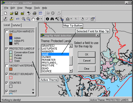
Spatial (geographic) data relevant to the ACE Basin Characterization are included in the digital characterization. Approximately 100 data layers include topography, wetlands, land use, wildlife populations, hypsography, hydrography, and census information and may be viewed independently or superimposed to compare relative spatial properties. Tabular data, such as water quality or sediment contaminants, are associated with some spatial data layers. The ability to display and manipulate spatial and tabular data provides a powerful tool for managers who must evaluate potential changes affecting resources in an area. The data can be displayed and manipulated using geographic information systems (GIS) software. ArcView project files and shape files are included for those users with Environmental Systems Research Institute's (ESRI) ArcView software. ESRI's viewing tool, ArcExplorerâ is also available on the CD-ROM for those users without ArcView.
The narrative text provides the reader with a synthesis of the physical setting, biological setting, socioeconomic resources, and important ecosystem interactions in the ACE Basin and nearby coastal areas. Historical activities including land clearing for agriculture, impounding wetlands for rice cultivation, and harvesting timber resources are discussed to provide a record of past resource use. Descriptions of the environmental conditions in the ACE Basin include its geology, geomorphology, hydrology, climate, water quality, soil characteristics, biogeochemistry, and hydrochemistry and pollution. Information on the ecological community includes descriptions of representative ecosystems, faunal assemblages, and ecosystem processes within the study area. Current resource uses including agriculture, forestry, commercial and recreational fisheries, hunting, and upland development activities are described. A section on the socioeconomics of the ACE Basin provides information on its present and potential future social and economic makeup. Management of natural resources including both the wildlife and habitat is discussed in the resource management section. Tables, figures, and pictures are included in each text section to help summarize and display information.
The synthesis modules, the third major component of the ACE Basin Characterization, provide integrated summaries of two major concerns in the Basin: water quality and land use. The water quality and land use modules summarize relevant ecological and socioeconomic information (with links to narrative text sections) and discuss issues and management options.
In addition to the main components, supporting information and navigation tools are provided on the CD-ROM to enhance the ability of the audience to access, comprehend, and utilize the information contained in the product.
- The ACE Contacts section provides a list of local, state, and regional agencies and organizations that are considered stakeholders in the ACE Basin. For each, contact information and a brief description of relevancy to the ACE Basin are provided.
- The Bibliography section provides two bibliographic databases, one unique to this product and one derived from a previous characterization product, and ProCite® software to search the databases by author, title, and key words.
- A Glossary provides definitions for nearly 700 technical terms that are used in the product, with links from the text to the glossary.
- A Video Tour of the ACE Basin provides twelve brief, aerial, video clips, mostly of the Ashepoo River basin.
- The Community Perspectives section presents the insights of scientists, citizens, and policy makers on water quality, land use, and tourism issues in the ACE Basin.
It is the goal of this characterization that it be a tool that agencies, local governments, land managers, conservation groups, and private citizens use to understand and conserve the unique character of the ACE Basin. By providing an overview of the ecosystem dynamics and issues of the ACE Basin, this characterization is also a valuable research, teaching, and educational tool. Finally, by providing insight into the past, present, and future of the ACE Basin, it is hoped that this characterization will contribute to science-based decision making within the Basin's watershed.